Sbiba night lights from space
Night Light of Sbiba (Al Qaşrayn) from space (Tunisia) Src. Average luminocity for 10x10km area is 4.511% and for 50x50km: 0.3329%.
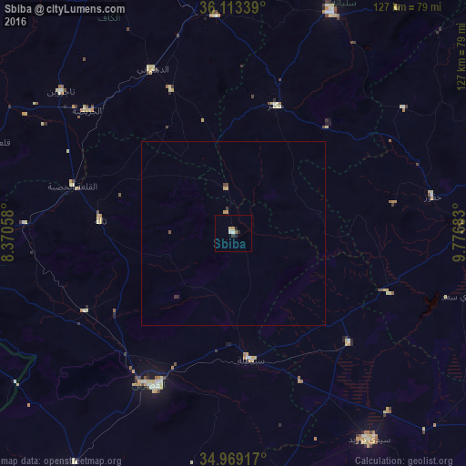
Analysis of Sbiba night lights 2016
Square area 10x10 km:
 1.1%
1.1%90-99
0.37%80-89
0.73%70-79
0.73%60-69
0%50-59
0.73%40-49
0%30-39
0.73%20-29
1.28%10-19
0.92%0-9
93.41%Square area 50x50 km:
0.04%90-99
0.01%80-89
0.03%70-79
0.11%60-69
0.02%50-59
0.03%40-49
0.08%30-39
0.09%20-29
0.08%10-19
0.03%0-9
99.47%Clear (daylight) street map image can be seen on geolist.org.
Map coordinates:
36° 6' 48.2" North, 8° 22' 14.1" East
35° 32' 36" North, 9° 4' 25.3" East
34° 58' 9" North, 9° 46' 36.6" East
Some cities around Sbiba sort by population:
• Kasserine
47 km =29.2 mi,  207°
207°
• Tajerouine
60.9 km =37.8 mi,  309°
309°
• Thala
36.6 km =22.7 mi,  275°
275°
• Maktar
36.8 km =22.9 mi,  18°
18°
• As Sars
59.5 km =37 mi,  355°
355°
• Haffouz
55.4 km =34.4 mi,  79°
79°
• Jilma
43.7 km =27.2 mi,  133°
133°
• El Ksour
42.8 km =26.6 mi,  336°
336°
2467506 (p: 6,291)
Sources (retrieved 2019-11-25):
» Earth at Night: Flat Maps 2012, 2016