Bir el Hafey night lights from space
Night Light of Bir el Hafey (Sīdī Bū Zayd) from space (Tunisia) Src. Average luminocity for 10x10km area is 5.9231% and for 50x50km: 0.6673%.
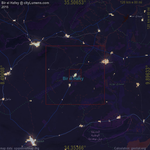
Analysis of Bir el Hafey night lights 2016
Square area 10x10 km:
 0.55%
0.55%90-99
0.18%80-89
1.83%70-79
2.56%60-69
0%50-59
0.73%40-49
0%30-39
0%20-29
0.73%10-19
0.73%0-9
92.67%Square area 50x50 km:
0.02%90-99
0.03%80-89
0.16%70-79
0.22%60-69
0.07%50-59
0.08%40-49
0.01%30-39
0.1%20-29
0.08%10-19
0.19%0-9
99.03%Clear (daylight) street map image can be seen on geolist.org.
Map coordinates:
35° 30' 23.5" North, 8° 29' 24.3" East
34° 55' 55.6" North, 9° 11' 35.6" East
34° 21' 13.2" North, 9° 53' 46.8" East
Some cities around Bir el Hafey sort by population:
• Kasserine
41.7 km =25.9 mi,  308°
308°
• Gafsa
67.7 km =42.1 mi,  213°
213°
• Sidi Bouzid
29.1 km =18.1 mi,  66°
66°
• As Sanad
52.6 km =32.7 mi,  172°
172°
• Er Regueb
54.7 km =34 mi,  98°
98°
• Sbiba
68.8 km =42.8 mi,  350°
350°
• Jilma
43.3 km =26.9 mi,  28°
28°
• Mezzouna
71.2 km =44.2 mi,  123°
123°
2472380 (p: 5,016)
Sources (retrieved 2019-11-25):
» Earth at Night: Flat Maps 2012, 2016