Sidi Bou Ali night lights from space
Night Light of Sidi Bou Ali (Sūsah) from space (Tunisia) Src. Average luminocity for 10x10km area is 12.2802% and for 50x50km: 10.5287%.
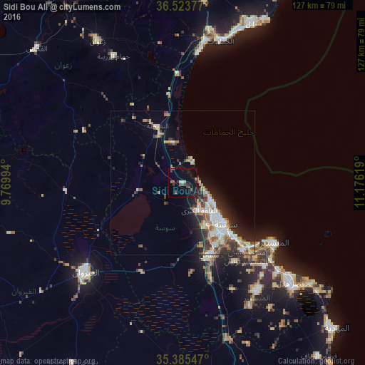
Analysis of Sidi Bou Ali night lights 2016
Square area 10x10 km:
 0.37%
0.37%90-99
1.1%80-89
0%70-79
0.37%60-69
2.2%50-59
3.3%40-49
2.2%30-39
4.58%20-29
0.55%10-19
8.97%0-9
76.37%Square area 50x50 km:
1.88%90-99
2.01%80-89
1.06%70-79
1.02%60-69
1.51%50-59
1.21%40-49
1.59%30-39
1.67%20-29
3.1%10-19
4.26%0-9
80.68%Clear (daylight) street map image can be seen on geolist.org.
Map coordinates:
36° 31' 25.6" North, 9° 46' 11.8" East
35° 57' 24" North, 10° 28' 23" East
35° 23' 7.7" North, 11° 10' 34.3" East
Some cities around Sidi Bou Ali sort by population:
• Sousse
20.8 km =12.9 mi,  134°
134°
• Msaken
27.1 km =16.8 mi,  158°
158°
• Hammam Sousse
15.8 km =9.8 mi, 132°
• Akouda
12.8 km =8 mi,  139°
139°
• Ouardenine
32.9 km =20.4 mi,  146°
146°
• Sahline
31.3 km =19.4 mi, 136°
• Harqalah
8.8 km =5.5 mi,  21°
21°
• Port el Kantaoui
13.1 km =8.1 mi,  123°
123°
2466034 (p: 8,855)
Sources (retrieved 2019-11-25):
» Earth at Night: Flat Maps 2012, 2016