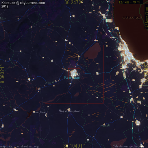
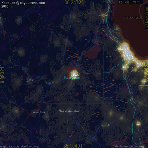
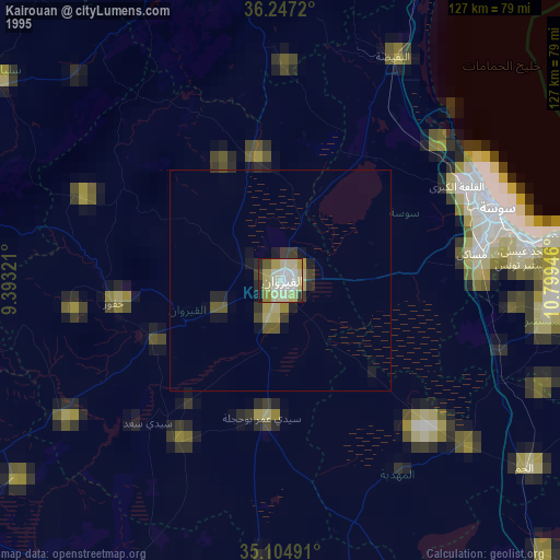
Kairouan night lights from space
Night Light of Kairouan from space (Tunisia) Src. Average luminocity for 10x10km area is 38.5664% and for 50x50km: 2.444%.
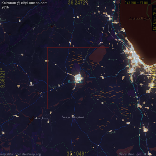
Analysis of Kairouan night lights 2016
Square area 10x10 km:
 8.74%
8.74%90-99
9.44%80-89
5.42%70-79
2.97%60-69
2.62%50-59
1.92%40-49
1.75%30-39
5.59%20-29
4.37%10-19
45.98%0-9
11.19%Square area 50x50 km:
0.36%90-99
0.39%80-89
0.4%70-79
0.21%60-69
0.24%50-59
0.19%40-49
0.26%30-39
0.44%20-29
0.35%10-19
2.34%0-9
94.82%Clear (daylight) street map image can be seen on geolist.org.
Map coordinates:
36° 14' 49.9" North, 9° 23' 35.6" East
35° 40' 41.2" North, 10° 5' 46.8" East
35° 6' 17.7" North, 10° 47' 58.1" East
Some cities around Kairouan sort by population:
• Msaken
44.1 km =27.4 mi,  82°
82°
• Hammam Sousse
50 km =31.1 mi,  66°
66°
• Akouda
47.3 km =29.4 mi,  63°
63°
• Sidi Bou Ali
46 km =28.6 mi,  47°
47°
• Haffouz
38.3 km =23.8 mi,  262°
262°
• Sbikha
29.2 km =18.1 mi,  346°
346°
• Chorbane
50.9 km =31.6 mi,  148°
148°
• Port el Kantaoui
50.8 km =31.6 mi, 62°
2473449 (p: 119,794)
Sources (retrieved 2019-11-25):
» NASA, Earths city lights 1995
» NASA city lights 2003
» Earth at Night: Flat Maps 2012, 2016