Sbikha night lights from space
Night Light of Sbikha (Kairouan) from space (Tunisia) Src. Average luminocity for 10x10km area is 2.8132% and for 50x50km: 0.7258%.
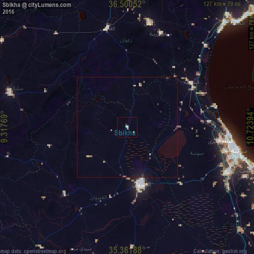
Analysis of Sbikha night lights 2016
Square area 10x10 km:
 0%
0%90-99
1.1%80-89
0.37%70-79
0.73%60-69
0%50-59
0.73%40-49
0%30-39
0.73%20-29
0%10-19
0%0-9
96.34%Square area 50x50 km:
0.01%90-99
0.08%80-89
0.21%70-79
0.06%60-69
0.04%50-59
0.1%40-49
0.08%30-39
0.21%20-29
0.14%10-19
0.47%0-9
98.61%Clear (daylight) street map image can be seen on geolist.org.
Map coordinates:
36° 30' 1.9" North, 9° 19' 3.7" East
35° 55' 59.7" North, 10° 1' 14.9" East
35° 21' 42.8" North, 10° 43' 26.2" East
Some cities around Sbikha sort by population:
• Kairouan
29.2 km =18.1 mi,  166°
166°
• Hammam Sousse
53.1 km =33 mi,  98°
98°
• Akouda
49.6 km =30.8 mi, 98°
• El Fahs
50.1 km =31.1 mi,  348°
348°
• Sidi Bou Ali
40.8 km =25.4 mi,  86°
86°
• Haffouz
45.7 km =28.4 mi,  222°
222°
• Harqalah
45.2 km =28.1 mi,  76°
76°
• Port el Kantaoui
51.8 km =32.2 mi, 95°
2473163 (p: 7,062)
Sources (retrieved 2019-11-25):
» Earth at Night: Flat Maps 2012, 2016