Maktar night lights from space
Night Light of Maktar (Silyānah) from space (Tunisia) Src. Average luminocity for 10x10km area is 5.757% and for 50x50km: 0.7151%.
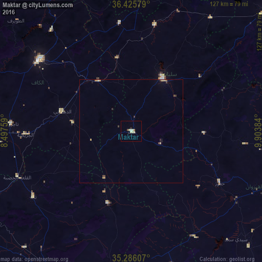
Analysis of Maktar night lights 2016
Square area 10x10 km:
 0.7%
0.7%90-99
0.52%80-89
2.97%70-79
0%60-69
0.7%50-59
0%40-49
0.7%30-39
0%20-29
0.7%10-19
0%0-9
93.71%Square area 50x50 km:
0.03%90-99
0.05%80-89
0.21%70-79
0.16%60-69
0.07%50-59
0.01%40-49
0.17%30-39
0.14%20-29
0.05%10-19
0.11%0-9
99%Clear (daylight) street map image can be seen on geolist.org.
Map coordinates:
36° 25' 32.8" North, 8° 29' 51.3" East
35° 51' 28.7" North, 9° 12' 2.6" East
35° 17' 9.9" North, 9° 54' 13.8" East
Some cities around Maktar sort by population:
• El Kef
56.8 km =35.3 mi,  308°
308°
• Siliana
29.5 km =18.3 mi,  31°
31°
• As Sars
29.2 km =18.1 mi,  326°
326°
• Gafour
52.6 km =32.7 mi,  12°
12°
• Haffouz
49.7 km =30.9 mi,  120°
120°
• Le Krib
52.6 km =32.7 mi,  353°
353°
• Sbiba
36.8 km =22.9 mi,  198°
198°
• El Ksour
28.8 km =17.9 mi,  278°
278°
2469341 (p: 14,500)
Sources (retrieved 2019-11-25):
» Earth at Night: Flat Maps 2012, 2016