Gafsa night lights from space
Night Light of Gafsa from space (Tunisia) Src. Average luminocity for 10x10km area is 35.3059% and for 50x50km: 2.1713%.
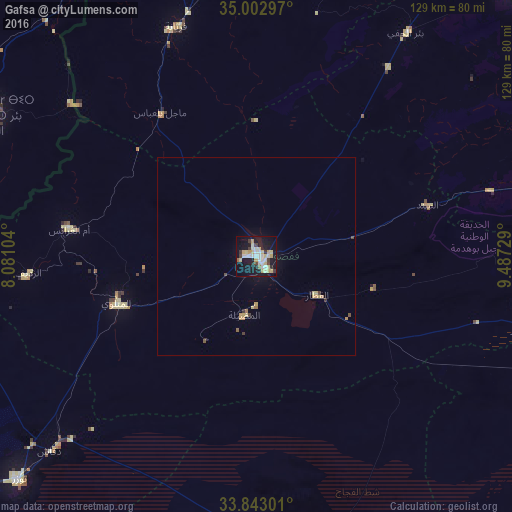
Analysis of Gafsa night lights 2016
Square area 10x10 km:
 5.94%
5.94%90-99
6.64%80-89
8.74%70-79
5.94%60-69
0.52%50-59
0.87%40-49
2.1%30-39
4.9%20-29
3.67%10-19
39.86%0-9
20.8%Square area 50x50 km:
0.24%90-99
0.27%80-89
0.48%70-79
0.45%60-69
0.13%50-59
0.1%40-49
0.17%30-39
0.33%20-29
0.15%10-19
1.86%0-9
95.83%Clear (daylight) street map image can be seen on geolist.org.
Map coordinates:
35° 0' 10.7" North, 8° 4' 51.7" East
34° 25' 30" North, 8° 47' 3" East
33° 50' 34.8" North, 9° 29' 14.2" East
Some cities around Gafsa sort by population:
• Bir el Ater, DZ
75.2 km =46.7 mi,  298°
298°
• Metlaoui
37 km =23 mi,  251°
251°
• Tozeur
82.1 km =51 mi,  226°
226°
• Ar Rudayyif
57.9 km =36 mi,  265°
265°
• Kebili
81.9 km =50.9 mi,  168°
168°
• Degache
72.8 km =45.2 mi, 226°
• As Sanad
44.2 km =27.5 mi,  84°
84°
• Bir el Hafey
67.7 km =42.1 mi,  33°
33°
2468353 (p: 81,232)
Sources (retrieved 2019-11-25):
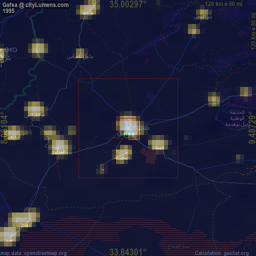
» NASA, Earths city lights 1995
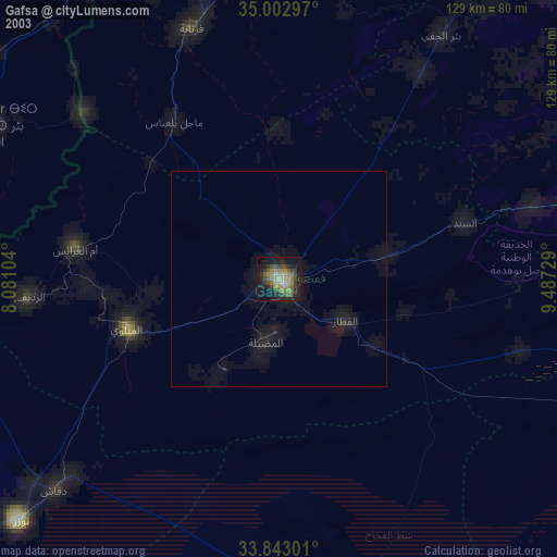
» NASA city lights 2003
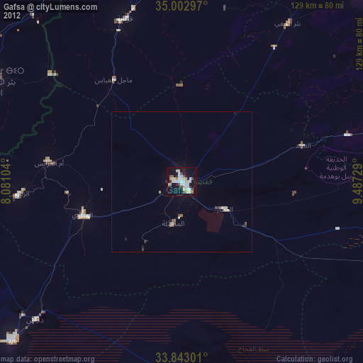
» Earth at Night: Flat Maps 2012, 2016