Seydi night lights from space
Night Light of Seydi (Mary) from space (Turkmenistan) Src. Average luminocity for 10x10km area is 10.0698% and for 50x50km: 1.9171%.
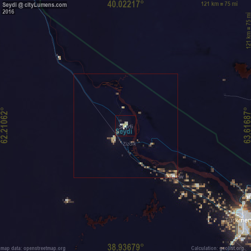
Analysis of Seydi night lights 2016
Square area 10x10 km:
 0%
0%90-99
3.41%80-89
2.6%70-79
0.65%60-69
0%50-59
0.32%40-49
0.32%30-39
0.16%20-29
2.76%10-19
1.46%0-9
88.31%Square area 50x50 km:
0.04%90-99
0.28%80-89
0.35%70-79
0.21%60-69
0.11%50-59
0.35%40-49
0.4%30-39
0.49%20-29
0.36%10-19
0.55%0-9
96.85%Clear (daylight) street map image can be seen on geolist.org.
Map coordinates:
40° 1' 19.8" North, 62° 12' 38.2" East
39° 28' 53.8" North, 62° 54' 49.5" East
38° 56' 12.4" North, 63° 37' 0.7" East
Some cities around Seydi sort by population:
• Bukhara, UZ
133.8 km =83.1 mi,  75°
75°
• Türkmenabat
73 km =45.4 mi,  128°
128°
• Karakul’, UZ
79.1 km =49.2 mi,  85°
85°
• Saýat
113.9 km =70.8 mi, 132°
• Farap
69.3 km =43.1 mi,  119°
119°
• Romiton, UZ
134.9 km =83.8 mi,  68°
68°
• Olot, UZ
76.7 km =47.7 mi,  95°
95°
• Gazli, UZ
85.7 km =53.3 mi,  32°
32°
1218420 (p: 17,762)
Sources (retrieved 2019-11-25):
» Earth at Night: Flat Maps 2012, 2016