Gazli night lights from space
Night Light of Gazli (Bukhara) from space (Uzbekistan) Src. Average luminocity for 10x10km area is 0.9075% and for 50x50km: 0.0988%.
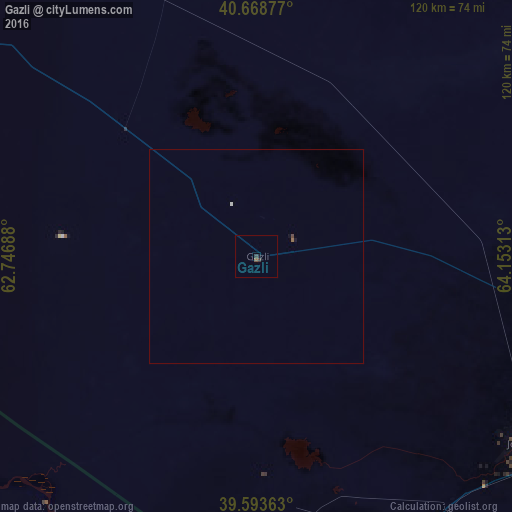
Analysis of Gazli night lights 2016
Square area 10x10 km:
 0%
0%90-99
0%80-89
0%70-79
0%60-69
0%50-59
0.16%40-49
0.49%30-39
0.97%20-29
0.32%10-19
0.65%0-9
97.4%Square area 50x50 km:
0.03%90-99
0%80-89
0%70-79
0%60-69
0.01%50-59
0.02%40-49
0.05%30-39
0.04%20-29
0.01%10-19
0.07%0-9
99.78%Clear (daylight) street map image can be seen on geolist.org.
Map coordinates:
40° 40' 7.6" North, 62° 44' 48.8" East
40° 7' 60" North, 63° 27' 0" East
39° 35' 37.1" North, 64° 9' 11.3" East
Some cities around Gazli sort by population:
• Bukhara
92.5 km =57.5 mi,  115°
115°
• Shofirkon
89.4 km =55.6 mi,  90°
90°
• Karakul’
74.3 km =46.2 mi,  153°
153°
• Seydi, TM
85.7 km =53.3 mi,  212°
212°
• Wobkent
91.3 km =56.7 mi,  97°
97°
• Galaosiyo
90.4 km =56.2 mi,  109°
109°
• Romiton
82.3 km =51.1 mi, 105°
• Olot
85.4 km =53.1 mi,  159°
159°
1513990 (p: 11,446)
Sources (retrieved 2019-11-25):
» Earth at Night: Flat Maps 2012, 2016