Türkmenabat night lights from space
Night Light of Türkmenabat (Lebap) from space (Turkmenistan) Src. Average luminocity for 10x10km area is 80.8409% and for 50x50km: 13.7722%.
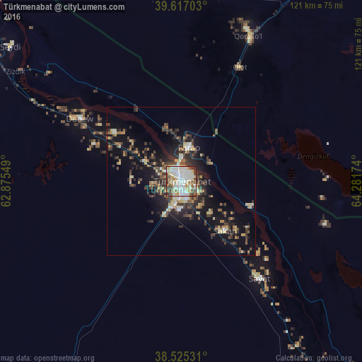
Analysis of Türkmenabat night lights 2016
Square area 10x10 km:
 24.35%
90-99
29.38%80-89
13.31%70-79
5.36%60-69
3.41%50-59
8.12%40-49
8.44%30-39
6.01%20-29
1.62%10-19
0%0-9
0%Square area 50x50 km:
1.39%90-99
2.24%80-89
2.18%70-79
1.18%60-69
1.42%50-59
1.59%40-49
2.71%30-39
3.27%20-29
3.97%10-19
10.13%0-9
69.94%Clear (daylight) street map image can be seen on geolist.org.
Map coordinates:
39° 37' 1.3" North, 62° 52' 31.8" East
39° 4' 23.8" North, 63° 34' 43" East
38° 31' 31.1" North, 64° 16' 54.3" East
Some cities around Türkmenabat sort by population:
• Bukhara, UZ
106.8 km =66.4 mi,  43°
43°
• Kogon, UZ
110.5 km =68.7 mi,  49°
49°
• Karakul’, UZ
55.6 km =34.5 mi,  23°
23°
• Seydi
73 km =45.4 mi,  308°
308°
• Saýat
41.4 km =25.7 mi,  140°
140°
• Galaosiyo, UZ
114.8 km =71.3 mi, 40°
• Farap
11.2 km =7 mi,  14°
14°
• Olot, UZ
42.6 km =26.5 mi,  26°
26°
1219649 (p: 234,817)
Sources (retrieved 2019-11-25):
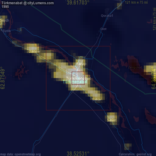
» NASA, Earths city lights 1995
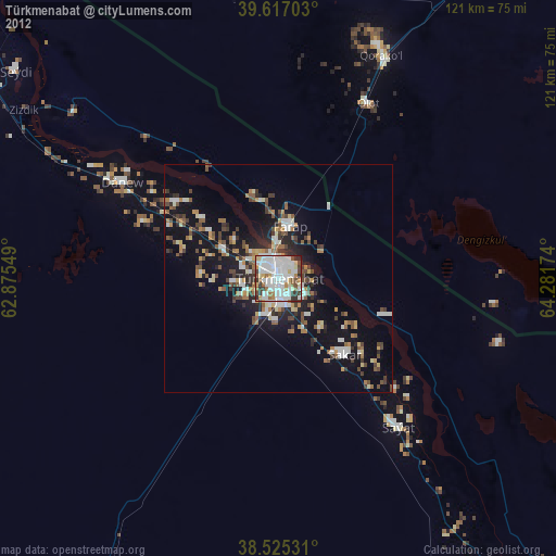
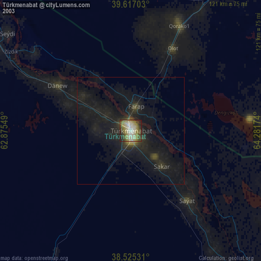
» NASA city lights 2003
» Earth at Night: Flat Maps 2012, 2016