Olot night lights from space
Night Light of Olot (Bukhara) from space (Uzbekistan) Src. Average luminocity for 10x10km area is 4.5119% and for 50x50km: 1.7067%.
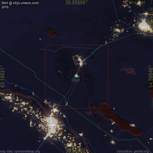
Analysis of Olot night lights 2016
Square area 10x10 km:
 0%
0%90-99
0%80-89
1.36%70-79
0%60-69
1.19%50-59
0.17%40-49
2.21%30-39
1.19%20-29
1.36%10-19
0%0-9
92.52%Square area 50x50 km:
0.02%90-99
0.09%80-89
0.28%70-79
0.06%60-69
0.18%50-59
0.27%40-49
0.48%30-39
0.75%20-29
0.52%10-19
1.04%0-9
96.31%Clear (daylight) street map image can be seen on geolist.org.
Map coordinates:
39° 57' 21.9" North, 63° 6' 0.8" East
39° 24' 54" North, 63° 48' 12" East
38° 52' 10.8" North, 64° 30' 23.3" East
Some cities around Olot sort by population:
• Bukhara
66.9 km =41.6 mi,  53°
53°
• Türkmenabat, TM
42.6 km =26.5 mi,  206°
206°
• Kogon
72.7 km =45.2 mi,  61°
61°
• Karakul’
13.4 km =8.3 mi,  11°
11°
• Saýat, TM
70.5 km =43.8 mi,  174°
174°
• Galaosiyo
74 km =46 mi, 48°
• Farap, TM
31.8 km =19.8 mi, 211°
• Romiton
75.5 km =46.9 mi,  40°
40°
1217907 (p: 11,984)
Sources (retrieved 2019-11-25):
» Earth at Night: Flat Maps 2012, 2016