Karakul’ night lights from space
Night Light of Karakul’ (Bukhara) from space (Uzbekistan) Src. Average luminocity for 10x10km area is 19.1461% and for 50x50km: 1.1946%.
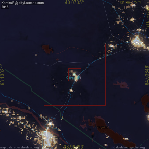
Analysis of Karakul’ night lights 2016
Square area 10x10 km:
 0.32%
0.32%90-99
1.79%80-89
4.87%70-79
0.81%60-69
1.3%50-59
3.25%40-49
3.25%30-39
9.9%20-29
4.71%10-19
10.06%0-9
59.74%Square area 50x50 km:
0.01%90-99
0.07%80-89
0.25%70-79
0.03%60-69
0.13%50-59
0.14%40-49
0.28%30-39
0.55%20-29
0.38%10-19
0.68%0-9
97.48%Clear (daylight) street map image can be seen on geolist.org.
Map coordinates:
40° 4' 24.6" North, 63° 7' 48.8" East
39° 31' 60" North, 63° 49' 60" East
38° 59' 20.1" North, 64° 32' 11.3" East
Some cities around Karakul’ sort by population:
• Bukhara
57.6 km =35.8 mi,  62°
62°
• Türkmenabat, TM
55.6 km =34.5 mi,  203°
203°
• Kogon
65 km =40.4 mi,  71°
71°
• Galaosiyo
63.8 km =39.6 mi, 55°
• Farap, TM
44.6 km =27.7 mi,  205°
205°
• Romiton
64.2 km =39.9 mi,  46°
46°
• Olot
13.4 km =8.3 mi,  191°
191°
• Gazli
74.3 km =46.2 mi,  333°
333°
1217084 (p: 22,487)
Sources (retrieved 2019-11-25):
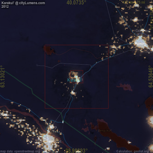
» Earth at Night: Flat Maps 2012, 2016