Boysun night lights from space
Night Light of Boysun (Surxondaryo) from space (Uzbekistan) Src. Average luminocity for 10x10km area is 7.3112% and for 50x50km: 0.4697%.

Analysis of Boysun night lights 2016
Square area 10x10 km:
 0%
0%90-99
0.68%80-89
1.53%70-79
1.19%60-69
1.36%50-59
0.68%40-49
1.53%30-39
2.72%20-29
1.36%10-19
0.51%0-9
88.44%Square area 50x50 km:
0%90-99
0.03%80-89
0.09%70-79
0.15%60-69
0.08%50-59
0.03%40-49
0.06%30-39
0.13%20-29
0.09%10-19
0.05%0-9
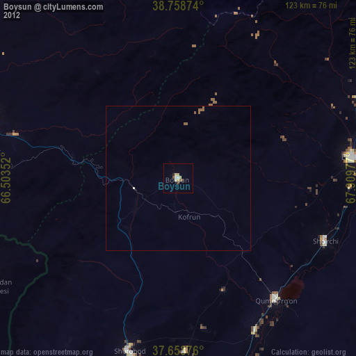
99.3%Clear (daylight) street map image can be seen on geolist.org.
Map coordinates:
38° 45' 31.5" North, 66° 30' 12.7" East
38° 12' 30.1" North, 67° 12' 23.9" East
37° 39' 13.5" North, 67° 54' 35.2" East
Some cities around Boysun sort by population:
• Denov
60.8 km =37.8 mi,  83°
83°
• Shahrisabz
99.8 km =62 mi,  341°
341°
• Kitob
105.3 km =65.4 mi, 344°
• Tursunzoda, TJ
95.6 km =59.4 mi,  69°
69°
• G‘uzor
95.3 km =59.2 mi,  298°
298°
• Sho‘rchi
55.9 km =34.7 mi,  114°
114°
• Chiroqchi
107 km =66.5 mi,  329°
329°
• Shahrinav, TJ
106.3 km =66.1 mi, 67°
1217734 (p: 25,050)
Sources (retrieved 2019-11-25):
» Earth at Night: Flat Maps 2012, 2016