Sarh night lights from space
Night Light of Sarh (Moyen-Chari) from space (Chad) Src. Average luminocity for 10x10km area is 2.1861% and for 50x50km: 0.0862%.

Analysis of Sarh night lights 2016
Square area 10x10 km:
 0%
0%90-99
0%80-89
0%70-79
0%60-69
0%50-59
0%40-49
2.6%30-39
0.87%20-29
2.6%10-19
0%0-9
93.94%Square area 50x50 km:
0%90-99
0%80-89
0%70-79
0%60-69
0%50-59
0%40-49
0.1%30-39
0.03%20-29
0.1%10-19
0%0-9
99.76%Clear (daylight) street map image can be seen on geolist.org.
Map coordinates:
9° 50' 11" North, 17° 41' 21" East
9° 8' 34.4" North, 18° 23' 32.3" East
8° 26' 53" North, 19° 5' 43.5" East
Some cities around Sarh sort by population:
• Koumra
95.6 km =59.4 mi,  254°
254°
• Doba
178.1 km =110.7 mi, 252°
• Kyabé
69.7 km =43.3 mi,  60°
60°
• Batangafo, CF
205.2 km =127.5 mi,  183°
183°
• Kabo, CF
162.6 km =101 mi,  170°
170°
• Moïssala
112.7 km =70 mi,  217°
217°
• Goundi
115.3 km =71.6 mi,  282°
282°
• Béboto
187.1 km =116.3 mi,  238°
238°
2425791 (p: 102,528)
Sources (retrieved 2019-11-25):
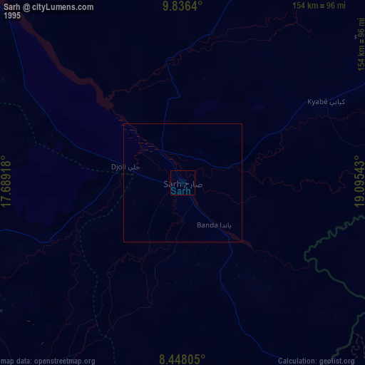
» NASA, Earths city lights 1995
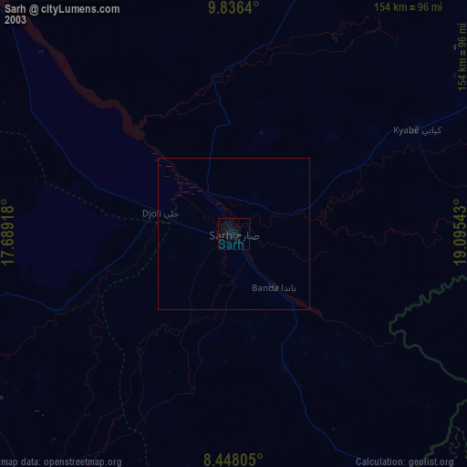
» NASA city lights 2003
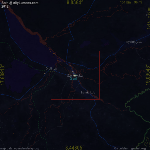
» Earth at Night: Flat Maps 2012, 2016