Kabo night lights from space
Night Light of Kabo (Ouham) from space (Central African Republic) Src. Average luminocity for 10x10km area is 0% and for 50x50km: 0%.
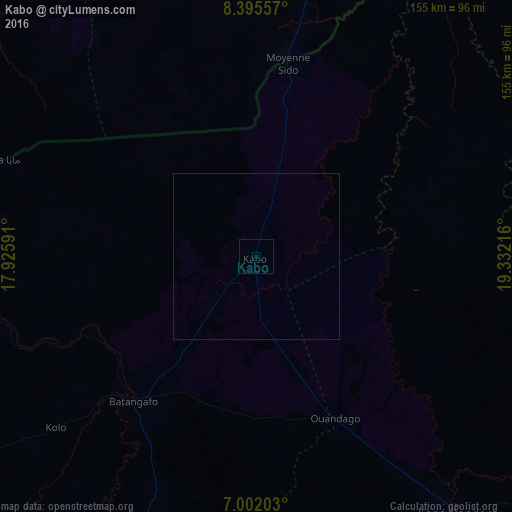
Analysis of Kabo night lights 2016
Square area 10x10 km:
 0%
0%90-99
0%80-89
0%70-79
0%60-69
0%50-59
0%40-49
0%30-39
0%20-29
0%10-19
0%0-9
100%Square area 50x50 km:
0%90-99
0%80-89
0%70-79
0%60-69
0%50-59
0%40-49
0%30-39
0%20-29
0%10-19
0%0-9
100%Clear (daylight) street map image can be seen on geolist.org.
Map coordinates:
8° 23' 44.1" North, 17° 55' 33.3" East
7° 41' 57.7" North, 18° 37' 44.5" East
7° 0' 7.3" North, 19° 19' 55.8" East
Some cities around Kabo sort by population:
• Sarh, TD
162.6 km =101 mi,  350°
350°
• Kaga Bandoro
100.1 km =62.2 mi,  142°
142°
• Koumra, TD
179.4 km =111.5 mi,  318°
318°
• Bossangoa
186.5 km =115.9 mi,  223°
223°
• Batangafo
58.4 km =36.3 mi, 220°
• Bouca
138.1 km =85.8 mi,  196°
196°
• Moïssala, TD
118.8 km =73.8 mi,  306°
306°
• Béboto, TD
196.5 km =122.1 mi,  288°
288°
2386042 (p: 13,637)
Sources (retrieved 2019-11-25):
» Earth at Night: Flat Maps 2012, 2016