Moïssala night lights from space
Night Light of Moïssala (Mandoul) from space (Chad) Src. Average luminocity for 10x10km area is 0% and for 50x50km: 0%.
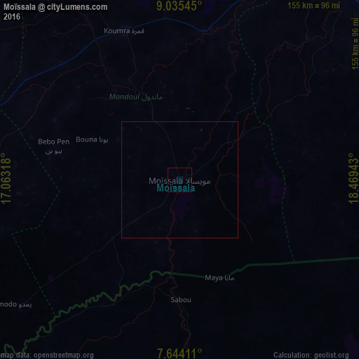
Analysis of Moïssala night lights 2016
Square area 10x10 km:
 0%
0%90-99
0%80-89
0%70-79
0%60-69
0%50-59
0%40-49
0%30-39
0%20-29
0%10-19
0%0-9
100%Square area 50x50 km:
0%90-99
0%80-89
0%70-79
0%60-69
0%50-59
0%40-49
0%30-39
0%20-29
0%10-19
0%0-9
100%Clear (daylight) street map image can be seen on geolist.org.
Map coordinates:
9° 2' 7.6" North, 17° 3' 47.4" East
8° 20' 25.4" North, 17° 45' 58.7" East
7° 38' 38.8" North, 18° 28' 9.9" East
Some cities around Moïssala sort by population:
• Sarh
112.7 km =70 mi,  37°
37°
• Koumra
67.8 km =42.1 mi,  339°
339°
• Doba
106.5 km =66.2 mi,  288°
288°
• Batangafo, CF
128.9 km =80.1 mi,  153°
153°
• Kabo, CF
118.8 km =73.8 mi,  126°
126°
• Bébédja
137.2 km =85.3 mi, 285°
• Goundi
121.9 km =75.7 mi, 338°
• Béboto
91.4 km =56.8 mi,  264°
264°
2427697 (p: 11,264)
Sources (retrieved 2019-11-25):
» Earth at Night: Flat Maps 2012, 2016