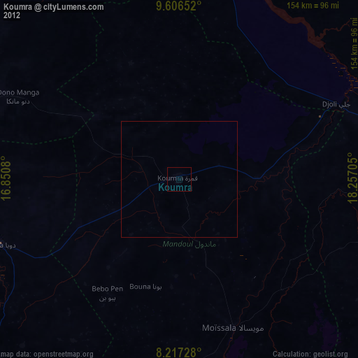
Koumra night lights from space
Night Light of Koumra (Mandoul) from space (Chad) Src. Average luminocity for 10x10km area is 0% and for 50x50km: 0%.

Analysis of Koumra night lights 2016
Square area 10x10 km:
100  0%
0%
90-99 0%
80-89 0%
70-79 0%
60-69 0%
50-59 0%
40-49 0%
30-39 0%
20-29 0%
10-19 0%
0-9 100%
0%90-99
0%80-89
0%70-79
0%60-69
0%50-59
0%40-49
0%30-39
0%20-29
0%10-19
0%0-9
100%Square area 50x50 km:
100 0%
90-99 0%
80-89 0%
70-79 0%
60-69 0%
50-59 0%
40-49 0%
30-39 0%
20-29 0%
10-19 0%
0-9 100%
0%90-99
0%80-89
0%70-79
0%60-69
0%50-59
0%40-49
0%30-39
0%20-29
0%10-19
0%0-9
100%Clear (daylight) street map image can be seen on geolist.org.
Map coordinates:
9° 36' 23.5" North, 16° 51' 2.9" East
8° 54' 45.2" North, 17° 33' 14.1" East
8° 13' 2.2" North, 18° 15' 25.4" East
Some cities around Koumra sort by population:
• Sarh
95.6 km =59.4 mi,  74°
74°
• Doba
82.7 km =51.4 mi,  249°
249°
• Laï
147.8 km =91.8 mi,  291°
291°
• Benoy
135.8 km =84.4 mi,  273°
273°
• Bébédja
111.7 km =69.4 mi,  256°
256°
• Moïssala
67.8 km =42.1 mi,  159°
159°
• Goundi
54.1 km =33.6 mi,  337°
337°
• Béboto
98.6 km =61.3 mi,  223°
223°
2429605 (p: 36,263)
Sources (retrieved 2019-11-25):
» Earth at Night: Flat Maps 2012, 2016