Kyabé night lights from space
Night Light of Kyabé (Moyen-Chari) from space (Chad) Src. Average luminocity for 10x10km area is 0.0714% and for 50x50km: 0.0028%.
Analysis of Kyabé night lights 2016
Square area 10x10 km:
 0%
0%90-99
0%80-89
0%70-79
0%60-69
0%50-59
0%40-49
0%30-39
0%20-29
0%10-19
0%0-9
100%Square area 50x50 km:
0%90-99
0%80-89
0%70-79
0%60-69
0%50-59
0%40-49
0%30-39
0%20-29
0%10-19
0%0-9
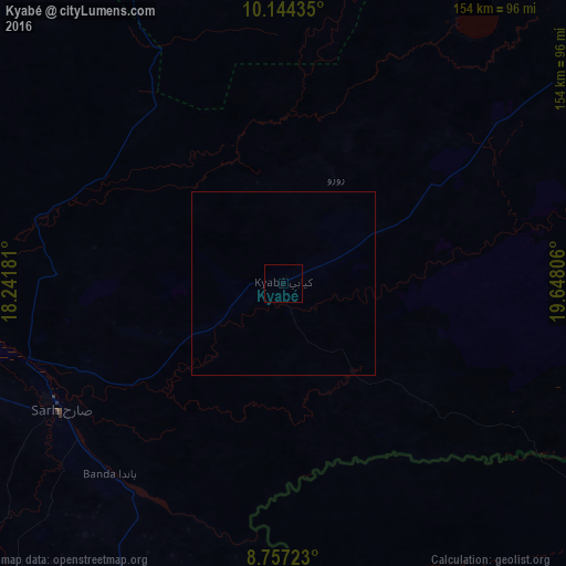
100%Clear (daylight) street map image can be seen on geolist.org.
Map coordinates:
10° 8' 39.7" North, 18° 14' 30.5" East
9° 27' 5.4" North, 18° 56' 41.7" East
8° 45' 26" North, 19° 38' 53" East
Some cities around Kyabé sort by population:
• Sarh
69.7 km =43.3 mi,  240°
240°
• Koumra
164 km =101.9 mi,  248°
248°
• Am Timan
228.5 km =142 mi,  39°
39°
• Kabo, CF
197.9 km =123 mi,  190°
190°
• Ndélé, CF
219.9 km =136.6 mi,  121°
121°
• Moïssala
179 km =111.2 mi,  226°
226°
• Goundi
173.5 km =107.8 mi,  266°
266°
• Melfi
210.2 km =130.6 mi,  328°
328°
2429344 (p: 16,177)
Sources (retrieved 2019-11-25):
» Earth at Night: Flat Maps 2012, 2016