Goundi night lights from space
Night Light of Goundi (Mandoul) from space (Chad) Src. Average luminocity for 10x10km area is 0% and for 50x50km: 0%.
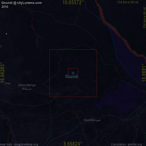
Analysis of Goundi night lights 2016
Square area 10x10 km:
100  0%
0%
90-99 0%
80-89 0%
70-79 0%
60-69 0%
50-59 0%
40-49 0%
30-39 0%
20-29 0%
10-19 0%
0-9 100%
0%90-99
0%80-89
0%70-79
0%60-69
0%50-59
0%40-49
0%30-39
0%20-29
0%10-19
0%0-9
100%Square area 50x50 km:
100 0%
90-99 0%
80-89 0%
70-79 0%
60-69 0%
50-59 0%
40-49 0%
30-39 0%
20-29 0%
10-19 0%
0-9 100%
0%90-99
0%80-89
0%70-79
0%60-69
0%50-59
0%40-49
0%30-39
0%20-29
0%10-19
0%0-9
100%Clear (daylight) street map image can be seen on geolist.org.
Map coordinates:
10° 3' 20.6" North, 16° 39' 46.3" East
9° 21' 45.6" North, 17° 21' 57.5" East
8° 40' 5.7" North, 18° 4' 8.8" East
Some cities around Goundi sort by population:
• Sarh
115.3 km =71.6 mi,  102°
102°
• Koumra
54.1 km =33.6 mi,  157°
157°
• Doba
97.4 km =60.5 mi,  215°
215°
• Laï
116.9 km =72.6 mi,  271°
271°
• Benoy
122.3 km =76 mi,  249°
249°
• Bébédja
116.4 km =72.3 mi,  229°
229°
• Moïssala
121.9 km =75.7 mi, 158°
• Béboto
130.6 km =81.2 mi,  201°
201°
2431736 (p: 10,052)
Sources (retrieved 2019-11-25):
» Earth at Night: Flat Maps 2012, 2016