Béboto night lights from space
Night Light of Béboto (Logone Oriental) from space (Chad) Src. Average luminocity for 10x10km area is 0% and for 50x50km: 0.0065%.
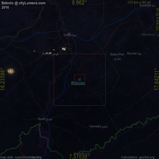
Analysis of Béboto night lights 2016
Square area 10x10 km:
 0%
0%90-99
0%80-89
0%70-79
0%60-69
0%50-59
0%40-49
0%30-39
0%20-29
0%10-19
0%0-9
100%Square area 50x50 km:
0%90-99
0%80-89
0%70-79
0%60-69
0%50-59
0%40-49
0%30-39
0%20-29
0%10-19
0.02%0-9
99.98%Clear (daylight) street map image can be seen on geolist.org.
Map coordinates:
8° 57' 43.2" North, 16° 14' 9.1" East
8° 16' 0.5" North, 16° 56' 20.3" East
7° 34' 13.4" North, 17° 38' 31.6" East
Some cities around Béboto sort by population:
• Moundou
99.8 km =62 mi,  289°
289°
• Koumra
98.6 km =61.3 mi,  43°
43°
• Doba
43.7 km =27.2 mi,  347°
347°
• Paoua, CF
126.4 km =78.5 mi,  205°
205°
• Benoy
104.8 km =65.1 mi,  319°
319°
• Bébédja
61.3 km =38.1 mi, 317°
• Moïssala
91.4 km =56.8 mi,  84°
84°
• Goundi
130.6 km =81.2 mi,  21°
21°
2435837 (p: 5,432)
Sources (retrieved 2019-11-25):
» Earth at Night: Flat Maps 2012, 2016