Batangafo night lights from space
Night Light of Batangafo (Ouham) from space (Central African Republic) Src. Average luminocity for 10x10km area is 0% and for 50x50km: 0%.
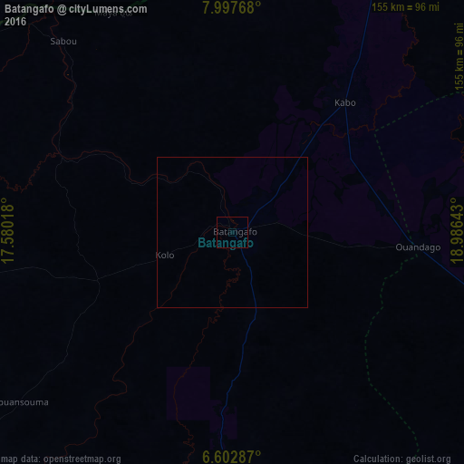
Analysis of Batangafo night lights 2016
Square area 10x10 km:
 0%
0%90-99
0%80-89
0%70-79
0%60-69
0%50-59
0%40-49
0%30-39
0%20-29
0%10-19
0%0-9
100%Square area 50x50 km:
0%90-99
0%80-89
0%70-79
0%60-69
0%50-59
0%40-49
0%30-39
0%20-29
0%10-19
0%0-9
100%Clear (daylight) street map image can be seen on geolist.org.
Map coordinates:
7° 59' 51.6" North, 17° 34' 48.6" East
7° 18' 3" North, 18° 16' 59.9" East
6° 36' 10.3" North, 18° 59' 11.1" East
Some cities around Batangafo sort by population:
• Kaga Bandoro
105.6 km =65.6 mi,  109°
109°
• Koumra, TD
196.4 km =122 mi,  335°
335°
• Sibut
196.5 km =122.1 mi,  153°
153°
• Bossangoa
128.2 km =79.7 mi,  225°
225°
• Kabo
58.4 km =36.3 mi,  40°
40°
• Bouca
88.2 km =54.8 mi,  180°
180°
• Moïssala, TD
128.9 km =80.1 mi,  333°
333°
• Béboto, TD
182.9 km =113.6 mi,  305°
305°
2389691 (p: 15,310)
Sources (retrieved 2019-11-25):
» Earth at Night: Flat Maps 2012, 2016