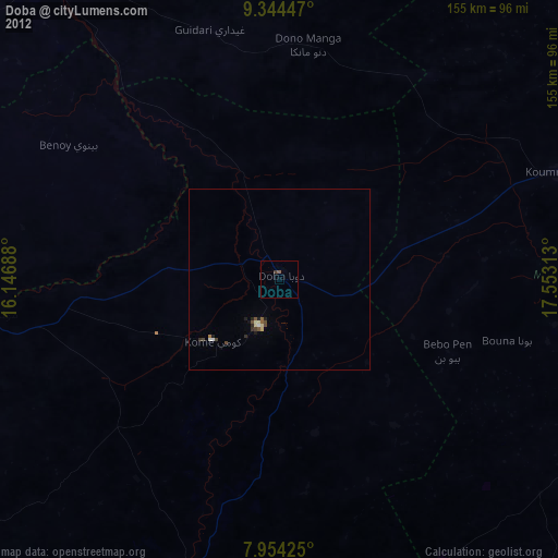
Doba night lights from space
Night Light of Doba (Logone Oriental) from space (Chad) Src. Average luminocity for 10x10km area is 0.4215% and for 50x50km: 0.4535%.
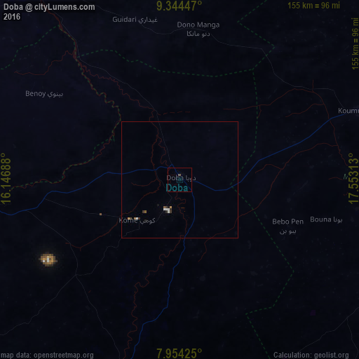
Analysis of Doba night lights 2016
Square area 10x10 km:
100  0%
0%
90-99 0%
80-89 0%
70-79 0%
60-69 0%
50-59 0%
40-49 0.83%
30-39 0%
20-29 0%
10-19 0%
0-9 99.17%
0%90-99
0%80-89
0%70-79
0%60-69
0%50-59
0%40-49
0.83%30-39
0%20-29
0%10-19
0%0-9
99.17%Square area 50x50 km:
100 0.07%
90-99 0.1%
80-89 0%
70-79 0.04%
60-69 0.06%
50-59 0.07%
40-49 0.05%
30-39 0.13%
20-29 0.1%
10-19 0.08%
0-9 99.29%
0.07%90-99
0.1%80-89
0%70-79
0.04%60-69
0.06%50-59
0.07%40-49
0.05%30-39
0.13%20-29
0.1%10-19
0.08%0-9
99.29%Clear (daylight) street map image can be seen on geolist.org.
Map coordinates:
9° 20' 40.1" North, 16° 8' 48.8" East
8° 39' 0" North, 16° 51' 0" East
7° 57' 15.3" North, 17° 33' 11.3" East
Some cities around Doba sort by population:
• Moundou
84.8 km =52.7 mi,  263°
263°
• Koumra
82.7 km =51.4 mi,  69°
69°
• Laï
102.7 km =63.8 mi,  324°
324°
• Benoy
69 km =42.9 mi,  302°
302°
• Bébédja
31.4 km =19.5 mi,  275°
275°
• Moïssala
106.5 km =66.2 mi,  108°
108°
• Goundi
97.4 km =60.5 mi,  35°
35°
• Béboto
43.7 km =27.2 mi,  167°
167°
2433437 (p: 24,336)
Sources (retrieved 2019-11-25):
» Earth at Night: Flat Maps 2012, 2016