Moussoro night lights from space
Night Light of Moussoro (Barh el Gazel) from space (Chad) Src. Average luminocity for 10x10km area is 0% and for 50x50km: 0%.
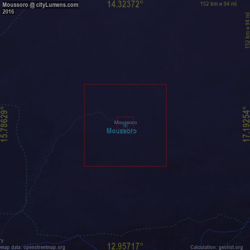
Analysis of Moussoro night lights 2016
Square area 10x10 km:
 0%
0%90-99
0%80-89
0%70-79
0%60-69
0%50-59
0%40-49
0%30-39
0%20-29
0%10-19
0%0-9
100%Square area 50x50 km:
0%90-99
0%80-89
0%70-79
0%60-69
0%50-59
0%40-49
0%30-39
0%20-29
0%10-19
0%0-9
100%Clear (daylight) street map image can be seen on geolist.org.
Map coordinates:
14° 19' 25.4" North, 15° 47' 10.6" East
13° 38' 29.1" North, 16° 29' 21.9" East
12° 57' 25.8" North, 17° 11' 33.1" East
Some cities around Moussoro sort by population:
• Ati
205.2 km =127.5 mi,  103°
103°
• Mao
138 km =85.7 mi,  292°
292°
• Massaguet
172.7 km =107.3 mi,  221°
221°
• Dourbali
214.9 km =133.5 mi,  198°
198°
• Massakory
109.2 km =67.9 mi,  228°
228°
• Bokoro
153.4 km =95.3 mi,  156°
156°
• Ngama
219.3 km =136.3 mi, 160°
• Bol
192.9 km =119.9 mi,  264°
264°
2427336 (p: 15,190)
Sources (retrieved 2019-11-25):
» Earth at Night: Flat Maps 2012, 2016