Mao night lights from space
Night Light of Mao (Kanem) from space (Chad) Src. Average luminocity for 10x10km area is 0% and for 50x50km: 0%.
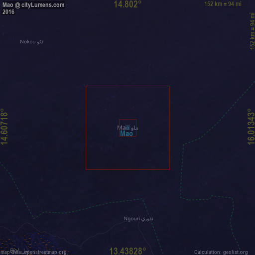
Analysis of Mao night lights 2016
Square area 10x10 km:
 0%
0%90-99
0%80-89
0%70-79
0%60-69
0%50-59
0%40-49
0%30-39
0%20-29
0%10-19
0%0-9
100%Square area 50x50 km:
0%90-99
0%80-89
0%70-79
0%60-69
0%50-59
0%40-49
0%30-39
0%20-29
0%10-19
0%0-9
100%Clear (daylight) street map image can be seen on geolist.org.
Map coordinates:
14° 48' 7.2" North, 14° 36' 25.8" East
14° 7' 16.2" North, 15° 18' 37.1" East
13° 26' 17.8" North, 16° 0' 48.3" East
Some cities around Mao sort by population:
• N'Djamena
225.8 km =140.3 mi,  187°
187°
• Kousséri, CM
229.3 km =142.5 mi, 187°
• Gamboru, NG
228.1 km =141.7 mi,  211°
211°
• Massaguet
183.5 km =114 mi,  175°
175°
• Massakory
133.1 km =82.7 mi,  160°
160°
• Moussoro
138 km =85.7 mi,  112°
112°
• Bol
97.2 km =60.4 mi,  221°
221°
• Makary, CM
195.2 km =121.3 mi, 208°
2428394 (p: 18,031)
Sources (retrieved 2019-11-25):
» Earth at Night: Flat Maps 2012, 2016