Ngama night lights from space
Night Light of Ngama (Chari-Baguirmi) from space (Chad) Src. Average luminocity for 10x10km area is 0% and for 50x50km: 0%.
Analysis of Ngama night lights 2016
Square area 10x10 km:
 0%
0%90-99
0%80-89
0%70-79
0%60-69
0%50-59
0%40-49
0%30-39
0%20-29
0%10-19
0%0-9
100%Square area 50x50 km:
0%90-99
0%80-89
0%70-79
0%60-69
0%50-59
0%40-49
0%30-39
0%20-29
0%10-19
0%0-9
100%Clear (daylight) street map image can be seen on geolist.org.
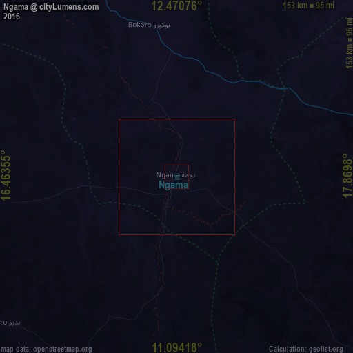
Map coordinates:
12° 28' 14.7" North, 16° 27' 48.8" East
11° 46' 60" North, 17° 10' 0" East
11° 5' 39" North, 17° 52' 11.3" East
Some cities around Ngama sort by population:
• Mongo
171.9 km =106.8 mi,  74°
74°
• Bitkine
116 km =72.1 mi,  79°
79°
• Dourbali
141.5 km =87.9 mi,  271°
271°
• Bokoro
67.2 km =41.8 mi,  349°
349°
• Bousso
152.7 km =94.9 mi,  199°
199°
• Guelendeng
200.8 km =124.8 mi,  241°
241°
• Melfi
116.2 km =72.2 mi,  133°
133°
• Massenya
116.4 km =72.3 mi,  248°
248°
2427036 (p: 12,438)
Sources (retrieved 2019-11-25):
» Earth at Night: Flat Maps 2012, 2016