Massaguet night lights from space
Night Light of Massaguet (Hadjer-Lamis) from space (Chad) Src. Average luminocity for 10x10km area is 0% and for 50x50km: 0%.
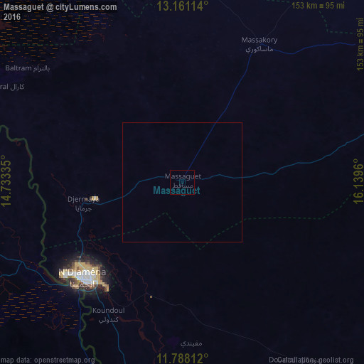
Analysis of Massaguet night lights 2016
Square area 10x10 km:
 0%
0%90-99
0%80-89
0%70-79
0%60-69
0%50-59
0%40-49
0%30-39
0%20-29
0%10-19
0%0-9
100%Square area 50x50 km:
0%90-99
0%80-89
0%70-79
0%60-69
0%50-59
0%40-49
0%30-39
0%20-29
0%10-19
0%0-9
100%Clear (daylight) street map image can be seen on geolist.org.
Map coordinates:
13° 9' 40.1" North, 14° 44' 0.1" East
12° 28' 31.9" North, 15° 26' 11.3" East
11° 47' 17.2" North, 16° 8' 22.6" East
Some cities around Massaguet sort by population:
• N'Djamena
59.1 km =36.7 mi,  226°
226°
• Kousséri, CM
62.5 km =38.8 mi,  224°
224°
• Gamboru, NG
134 km =83.3 mi,  265°
265°
• Dourbali
87.9 km =54.6 mi,  147°
147°
• Ngala, NG
136.5 km =84.8 mi,  263°
263°
• Bol
135.2 km =84 mi,  324°
324°
• Makary, CM
107.1 km =66.5 mi,  275°
275°
• Massenya
143.4 km =89.1 mi, 146°
2428231 (p: 17,906)
Sources (retrieved 2019-11-25):
» Earth at Night: Flat Maps 2012, 2016