Bokoro night lights from space
Night Light of Bokoro (Hadjer-Lamis) from space (Chad) Src. Average luminocity for 10x10km area is 0% and for 50x50km: 0%.
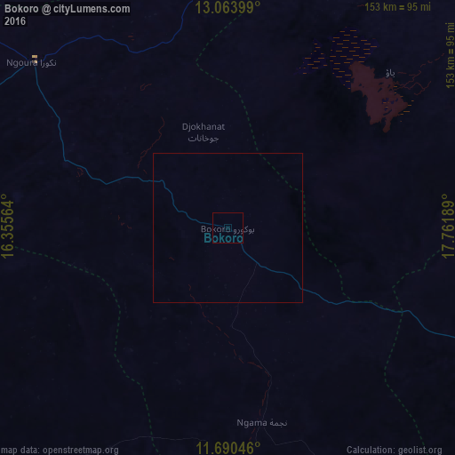
Analysis of Bokoro night lights 2016
Square area 10x10 km:
 0%
0%90-99
0%80-89
0%70-79
0%60-69
0%50-59
0%40-49
0%30-39
0%20-29
0%10-19
0%0-9
100%Square area 50x50 km:
0%90-99
0%80-89
0%70-79
0%60-69
0%50-59
0%40-49
0%30-39
0%20-29
0%10-19
0%0-9
100%Clear (daylight) street map image can be seen on geolist.org.
Map coordinates:
13° 3' 50.4" North, 16° 21' 20.3" East
12° 22' 41.3" North, 17° 3' 31.5" East
11° 41' 25.7" North, 17° 45' 42.8" East
Some cities around Bokoro sort by population:
• Ati
166.8 km =103.6 mi,  56°
56°
• Bitkine
133.1 km =82.7 mi,  109°
109°
• Dourbali
144.3 km =89.7 mi,  243°
243°
• Massakory
159.7 km =99.2 mi,  295°
295°
• Moussoro
153.4 km =95.3 mi,  336°
336°
• Ngama
67.2 km =41.8 mi,  169°
169°
• Melfi
174.9 km =108.7 mi,  146°
146°
• Massenya
145.2 km =90.2 mi,  221°
221°
2434985 (p: 14,723)
Sources (retrieved 2019-11-25):
» Earth at Night: Flat Maps 2012, 2016