Massakory night lights from space
Night Light of Massakory (Hadjer-Lamis) from space (Chad) Src. Average luminocity for 10x10km area is 0% and for 50x50km: 0%.
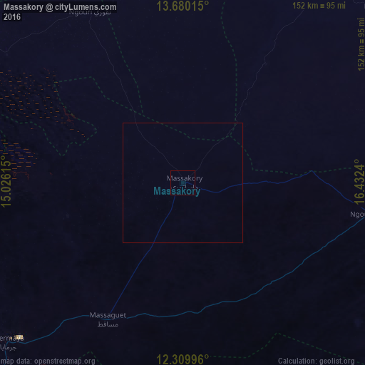
Analysis of Massakory night lights 2016
Square area 10x10 km:
 0%
0%90-99
0%80-89
0%70-79
0%60-69
0%50-59
0%40-49
0%30-39
0%20-29
0%10-19
0%0-9
100%Square area 50x50 km:
0%90-99
0%80-89
0%70-79
0%60-69
0%50-59
0%40-49
0%30-39
0%20-29
0%10-19
0%0-9
100%Clear (daylight) street map image can be seen on geolist.org.
Map coordinates:
13° 40' 48.5" North, 15° 1' 34.1" East
12° 59' 45.6" North, 15° 43' 45.4" East
12° 18' 35.9" North, 16° 25' 56.6" East
Some cities around Massakory sort by population:
• N'Djamena
123.7 km =76.9 mi,  216°
216°
• Kousséri, CM
127.3 km =79.1 mi, 216°
• Mao
133.1 km =82.7 mi,  340°
340°
• Dourbali
133.1 km =82.7 mi,  173°
173°
• Moussoro
109.2 km =67.9 mi,  48°
48°
• Bokoro
159.7 km =99.2 mi,  115°
115°
• Bol
121.8 km =75.7 mi,  295°
295°
• Makary, CM
145.9 km =90.7 mi,  251°
251°
2428228 (p: 15,406)
Sources (retrieved 2019-11-25):
» Earth at Night: Flat Maps 2012, 2016