Ati night lights from space
Night Light of Ati (Batha) from space (Chad) Src. Average luminocity for 10x10km area is 0% and for 50x50km: 0%.

Analysis of Ati night lights 2016
Square area 10x10 km:
100  0%
0%
90-99 0%
80-89 0%
70-79 0%
60-69 0%
50-59 0%
40-49 0%
30-39 0%
20-29 0%
10-19 0%
0-9 100%
0%90-99
0%80-89
0%70-79
0%60-69
0%50-59
0%40-49
0%30-39
0%20-29
0%10-19
0%0-9
100%Square area 50x50 km:
100 0%
90-99 0%
80-89 0%
70-79 0%
60-69 0%
50-59 0%
40-49 0%
30-39 0%
20-29 0%
10-19 0%
0-9 100%
0%90-99
0%80-89
0%70-79
0%60-69
0%50-59
0%40-49
0%30-39
0%20-29
0%10-19
0%0-9
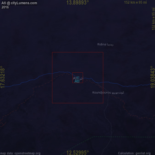
100%Clear (daylight) street map image can be seen on geolist.org.
Map coordinates:
13° 53' 56.1" North, 17° 37' 55.8" East
13° 12' 55.4" North, 18° 20' 7.1" East
12° 31' 47.8" North, 19° 2' 18.3" East
Some cities around Ati sort by population:
• Abéché
278.4 km =173 mi,  75°
75°
• Mongo
121 km =75.2 mi,  161°
161°
• Oum Hadjer
147.6 km =91.7 mi,  86°
86°
• Bitkine
138 km =85.7 mi,  185°
185°
• Moussoro
205.2 km =127.5 mi,  283°
283°
• Bokoro
166.8 km =103.6 mi,  236°
236°
• Ngama
203.6 km =126.5 mi,  218°
218°
• Melfi
243.6 km =151.4 mi, 190°
2436400 (p: 24,074)
Sources (retrieved 2019-11-25):
» Earth at Night: Flat Maps 2012, 2016