Dourbali night lights from space
Night Light of Dourbali (Chari-Baguirmi) from space (Chad) Src. Average luminocity for 10x10km area is 0% and for 50x50km: 0%.
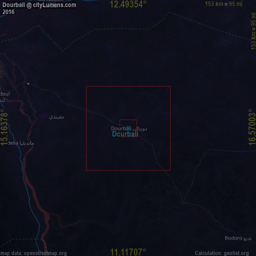
Analysis of Dourbali night lights 2016
Square area 10x10 km:
 0%
0%90-99
0%80-89
0%70-79
0%60-69
0%50-59
0%40-49
0%30-39
0%20-29
0%10-19
0%0-9
100%Square area 50x50 km:
0%90-99
0%80-89
0%70-79
0%60-69
0%50-59
0%40-49
0%30-39
0%20-29
0%10-19
0%0-9
100%Clear (daylight) street map image can be seen on geolist.org.
Map coordinates:
12° 29' 36.7" North, 15° 9' 49.6" East
11° 48' 22.2" North, 15° 52' 0.8" East
11° 7' 1.5" North, 16° 34' 12.1" East
Some cities around Dourbali sort by population:
• N'Djamena
95.5 km =59.3 mi,  290°
290°
• Kousséri, CM
95.8 km =59.5 mi, 288°
• Massaguet
87.9 km =54.6 mi,  327°
327°
• Massakory
133.1 km =82.7 mi,  353°
353°
• Bokoro
144.3 km =89.7 mi,  63°
63°
• Ngama
141.5 km =87.9 mi,  91°
91°
• Guelendeng
104.7 km =65.1 mi,  199°
199°
• Massenya
55.6 km =34.5 mi,  143°
143°
2433055 (p: 17,682)
Sources (retrieved 2019-11-25):
» Earth at Night: Flat Maps 2012, 2016