Bol night lights from space
Night Light of Bol (Lac) from space (Chad) Src. Average luminocity for 10x10km area is 0% and for 50x50km: 0.0055%.
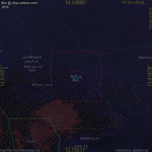
Analysis of Bol night lights 2016
Square area 10x10 km:
 0%
0%90-99
0%80-89
0%70-79
0%60-69
0%50-59
0%40-49
0%30-39
0%20-29
0%10-19
0%0-9
100%Square area 50x50 km:
0%90-99
0%80-89
0%70-79
0%60-69
0%50-59
0%40-49
0%30-39
0%20-29
0%10-19
0.03%0-9
99.97%Clear (daylight) street map image can be seen on geolist.org.
Map coordinates:
14° 8' 59.5" North, 14° 0' 37.8" East
13° 28' 1.4" North, 14° 42' 49.1" East
12° 46' 56.3" North, 15° 25' 0.3" East
Some cities around Bol sort by population:
• Gamboru, NG
133.5 km =83 mi,  204°
204°
• Monguno, NG
148.6 km =92.3 mi,  233°
233°
• Mao
97.2 km =60.4 mi,  41°
41°
• Massaguet
135.2 km =84 mi,  144°
144°
• Kukawa, NG
138.1 km =85.8 mi,  244°
244°
• Massakory
121.8 km =75.7 mi,  115°
115°
• Ngala, NG
137.7 km =85.6 mi, 204°
• Makary, CM
103 km =64 mi, 195°
2434979 (p: 11,700)
Sources (retrieved 2019-11-25):
» Earth at Night: Flat Maps 2012, 2016