Bébédja night lights from space
Night Light of Bébédja (Logone Oriental) from space (Chad) Src. Average luminocity for 10x10km area is 0% and for 50x50km: 0.2557%.
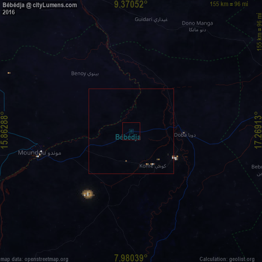
Analysis of Bébédja night lights 2016
Square area 10x10 km:
100  0%
0%
90-99 0%
80-89 0%
70-79 0%
60-69 0%
50-59 0%
40-49 0%
30-39 0%
20-29 0%
10-19 0%
0-9 100%
0%90-99
0%80-89
0%70-79
0%60-69
0%50-59
0%40-49
0%30-39
0%20-29
0%10-19
0%0-9
100%Square area 50x50 km:
100 0.03%
90-99 0.03%
80-89 0%
70-79 0.03%
60-69 0.03%
50-59 0.07%
40-49 0.05%
30-39 0.07%
20-29 0.03%
10-19 0.05%
0-9 99.6%
0.03%90-99
0.03%80-89
0%70-79
0.03%60-69
0.03%50-59
0.07%40-49
0.05%30-39
0.07%20-29
0.03%10-19
0.05%0-9
99.6%Clear (daylight) street map image can be seen on geolist.org.
Map coordinates:
9° 22' 13.9" North, 15° 51' 46.4" East
8° 40' 34" North, 16° 33' 57.6" East
7° 58' 49.4" North, 17° 16' 8.9" East
Some cities around Bébédja sort by population:
• Moundou
54.4 km =33.8 mi,  257°
257°
• Kelo
109.1 km =67.8 mi,  310°
310°
• Koumra
111.7 km =69.4 mi,  76°
76°
• Doba
31.4 km =19.5 mi,  95°
95°
• Laï
85.3 km =53 mi,  340°
340°
• Benoy
43.6 km =27.1 mi,  321°
321°
• Béré
84.6 km =52.6 mi,  327°
327°
• Béboto
61.3 km =38.1 mi,  137°
137°
2435854 (p: 12,671)
Sources (retrieved 2019-11-25):
» Earth at Night: Flat Maps 2012, 2016