Faya-Largeau night lights from space
Night Light of Faya-Largeau (Borkou) from space (Chad) Src. Average luminocity for 10x10km area is 0.4069% and for 50x50km: 0.0154%.
Analysis of Faya-Largeau night lights 2016
Square area 10x10 km:
 0%
0%90-99
0%80-89
0%70-79
0%60-69
0%50-59
0%40-49
0.43%30-39
0.43%20-29
0%10-19
0%0-9
99.13%Square area 50x50 km:
0%90-99
0%80-89
0%70-79
0%60-69
0%50-59
0%40-49
0.02%30-39
0.02%20-29
0%10-19
0%0-9
99.97%Clear (daylight) street map image can be seen on geolist.org.
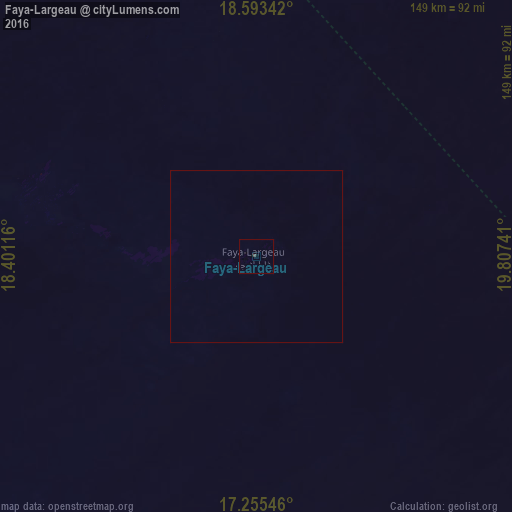
Map coordinates:
18° 35' 36.3" North, 18° 24' 4.2" East
17° 55' 32.5" North, 19° 6' 15.4" East
17° 15' 19.7" North, 19° 48' 26.7" East
Some cities around Faya-Largeau sort by population:
• Abéché
491.5 km =305.4 mi,  157°
157°
• Ati
530.2 km =329.5 mi,  188°
188°
• Fada
275.2 km =171 mi,  107°
107°
• Oum Hadjer
518.7 km =322.3 mi,  172°
172°
• Moussoro
552.4 km =343.2 mi,  210°
210°
• Biltine
425 km =264.1 mi,  152°
152°
• Am Djarass
448.1 km =278.4 mi,  117°
117°
• Bardaï
440.3 km =273.6 mi,  329°
329°
2432678 (p: 13,400)
Sources (retrieved 2019-11-25):
» Earth at Night: Flat Maps 2012, 2016