Bardaï night lights from space
Night Light of Bardaï (Tibesti) from space (Chad) Src. Average luminocity for 10x10km area is 0% and for 50x50km: 0%.
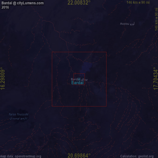
Analysis of Bardaï night lights 2016
Square area 10x10 km:
 0%
0%90-99
0%80-89
0%70-79
0%60-69
0%50-59
0%40-49
0%30-39
0%20-29
0%10-19
0%0-9
100%Square area 50x50 km:
0%90-99
0%80-89
0%70-79
0%60-69
0%50-59
0%40-49
0%30-39
0%20-29
0%10-19
0%0-9
100%Clear (daylight) street map image can be seen on geolist.org.
Map coordinates:
22° 0' 30" North, 16° 17' 53.1" East
21° 21' 17.8" North, 17° 0' 4.4" East
20° 41' 55.1" North, 17° 42' 15.6" East
Some cities around Bardaï sort by population:
• Sabhā, LY
683.6 km =424.8 mi,  337°
337°
• Al Jadīd, LY
685.9 km =426.2 mi, 337°
• At Tāj, LY
717.8 km =446 mi,  63°
63°
• Murzuq, LY
596.4 km =370.6 mi,  328°
328°
• Ubari, LY
723.2 km =449.4 mi,  323°
323°
• Fada
667.7 km =414.9 mi,  133°
133°
• Al Jawf, LY
718 km =446.1 mi, 63°
• Faya-Largeau
440.3 km =273.6 mi,  149°
149°
2435976 (p: 0)
Sources (retrieved 2019-11-25):
» Earth at Night: Flat Maps 2012, 2016