Abéché night lights from space
Night Light of Abéché (Ouadaï) from space (Chad) Src. Average luminocity for 10x10km area is 1.9876% and for 50x50km: 0.0795%.
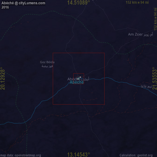
Analysis of Abéché night lights 2016
Square area 10x10 km:
 0%
0%90-99
0.83%80-89
0%70-79
0%60-69
0%50-59
0%40-49
0.41%30-39
0.83%20-29
1.86%10-19
0.21%0-9
95.87%Square area 50x50 km:
0%90-99
0.03%80-89
0%70-79
0%60-69
0%50-59
0%40-49
0.02%30-39
0.03%20-29
0.07%10-19
0.01%0-9
99.83%Clear (daylight) street map image can be seen on geolist.org.
Map coordinates:
14° 30' 39.2" North, 20° 7' 45.4" East
13° 49' 45" North, 20° 49' 56.6" East
13° 8' 43.5" North, 21° 32' 7.9" East
Some cities around Abéché sort by population:
• Geneina, SD
179.4 km =111.5 mi,  103°
103°
• Zalingei, SD
303.2 km =188.4 mi,  109°
109°
• Mongo
295.2 km =183.4 mi,  231°
231°
• Ati
278.4 km =173 mi,  255°
255°
• Oum Hadjer
136.4 km =84.8 mi,  244°
244°
• Adré
153 km =95.1 mi, 105°
• Biltine
78.4 km =48.7 mi,  7°
7°
• Goz Beïda
189.1 km =117.5 mi,  160°
160°
245785 (p: 74,188)
Sources (retrieved 2019-11-25):
» NASA, Earths city lights 1995
» NASA city lights 2003
» Earth at Night: Flat Maps 2012, 2016