Oum Hadjer night lights from space
Night Light of Oum Hadjer (Batha) from space (Chad) Src. Average luminocity for 10x10km area is 0% and for 50x50km: 0%.
Analysis of Oum Hadjer night lights 2016
Square area 10x10 km:
 0%
0%90-99
0%80-89
0%70-79
0%60-69
0%50-59
0%40-49
0%30-39
0%20-29
0%10-19
0%0-9
100%Square area 50x50 km:
0%90-99
0%80-89
0%70-79
0%60-69
0%50-59
0%40-49
0%30-39
0%20-29
0%10-19
0%0-9
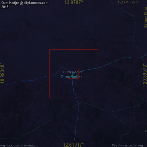
100%Clear (daylight) street map image can be seen on geolist.org.
Map coordinates:
13° 58' 43.3" North, 18° 59' 36.5" East
13° 17' 43.4" North, 19° 41' 47.8" East
12° 36' 36.6" North, 20° 23' 59" East
Some cities around Oum Hadjer sort by population:
• Abéché
136.4 km =84.8 mi,  64°
64°
• Am Timan
259.9 km =161.5 mi,  165°
165°
• Mongo
164.6 km =102.3 mi,  221°
221°
• Ati
147.6 km =91.7 mi,  266°
266°
• Bitkine
217.4 km =135.1 mi,  227°
227°
• Adré
271.3 km =168.6 mi,  85°
85°
• Biltine
190.9 km =118.6 mi,  44°
44°
• Goz Beïda
220.7 km =137.1 mi,  122°
122°
2426370 (p: 19,271)
Sources (retrieved 2019-11-25):
» Earth at Night: Flat Maps 2012, 2016