Am Djarass night lights from space
Night Light of Am Djarass (Ennedi-Est) from space (Chad) Src. Average luminocity for 10x10km area is 1.2707% and for 50x50km: 0.0508%.
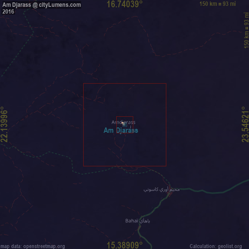
Analysis of Am Djarass night lights 2016
Square area 10x10 km:
 0%
0%90-99
0%80-89
0%70-79
0%60-69
0.83%50-59
0%40-49
0%30-39
1.65%20-29
0%10-19
0%0-9
97.52%Square area 50x50 km:
0%90-99
0%80-89
0%70-79
0%60-69
0.03%50-59
0%40-49
0%30-39
0.07%20-29
0%10-19
0%0-9
99.9%Clear (daylight) street map image can be seen on geolist.org.
Map coordinates:
16° 44' 25.4" North, 22° 8' 23.9" East
16° 3' 57.2" North, 22° 50' 35.1" East
15° 23' 20.7" North, 23° 32' 46.4" East
Some cities around Am Djarass sort by population:
• El Fasher, SD
382.1 km =237.4 mi,  135°
135°
• Geneina, SD
293.7 km =182.5 mi,  188°
188°
• Abéché
329.4 km =204.7 mi,  220°
220°
• Zalingei, SD
357.4 km =222.1 mi,  169°
169°
• Fada
183.2 km =113.8 mi,  312°
312°
• Adré
297.2 km =184.7 mi, 193°
• Biltine
267.3 km =166.1 mi,  230°
230°
• Kutum, SD
285.2 km =177.2 mi, 136°
9534257 (p: 0)
Sources (retrieved 2019-11-25):
» Earth at Night: Flat Maps 2012, 2016