Biltine night lights from space
Night Light of Biltine (Wadi Fira) from space (Chad) Src. Average luminocity for 10x10km area is 0% and for 50x50km: 0%.
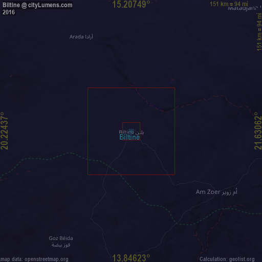
Analysis of Biltine night lights 2016
Square area 10x10 km:
 0%
0%90-99
0%80-89
0%70-79
0%60-69
0%50-59
0%40-49
0%30-39
0%20-29
0%10-19
0%0-9
100%Square area 50x50 km:
0%90-99
0%80-89
0%70-79
0%60-69
0%50-59
0%40-49
0%30-39
0%20-29
0%10-19
0%0-9
100%Clear (daylight) street map image can be seen on geolist.org.
Map coordinates:
15° 12' 27" North, 20° 13' 27.7" East
14° 31' 40.5" North, 20° 55' 39" East
13° 50' 46.4" North, 21° 37' 50.2" East
Some cities around Biltine sort by population:
• Geneina, SD
202.9 km =126.1 mi,  126°
126°
• Abéché
78.4 km =48.7 mi,  187°
187°
• Ati
315.6 km =196.1 mi,  242°
242°
• Fada
303.6 km =188.6 mi,  13°
13°
• Oum Hadjer
190.9 km =118.6 mi,  224°
224°
• Adré
180.9 km =112.4 mi, 130°
• Goz Beïda
261.3 km =162.4 mi,  168°
168°
• Am Djarass
267.3 km =166.1 mi,  50°
50°
244878 (p: 11,000)
Sources (retrieved 2019-11-25):
» Earth at Night: Flat Maps 2012, 2016