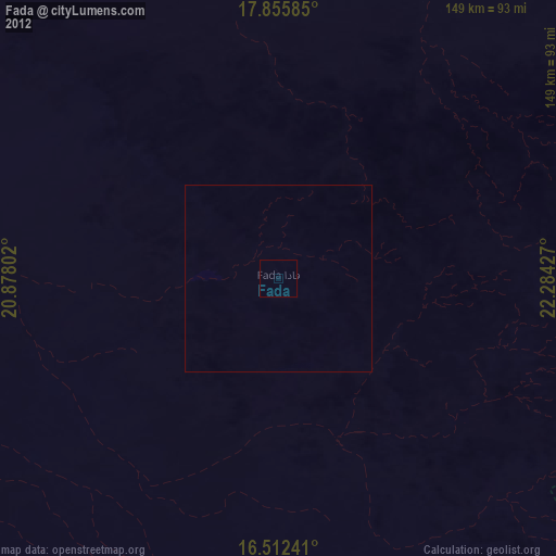
Fada night lights from space
Night Light of Fada (Ennedi-Ouest) from space (Chad) Src. Average luminocity for 10x10km area is 0% and for 50x50km: 0%.

Analysis of Fada night lights 2016
Square area 10x10 km:
 0%
0%90-99
0%80-89
0%70-79
0%60-69
0%50-59
0%40-49
0%30-39
0%20-29
0%10-19
0%0-9
100%Square area 50x50 km:
0%90-99
0%80-89
0%70-79
0%60-69
0%50-59
0%40-49
0%30-39
0%20-29
0%10-19
0%0-9
100%Clear (daylight) street map image can be seen on geolist.org.
Map coordinates:
17° 51' 21.1" North, 20° 52' 40.9" East
17° 11' 7.3" North, 21° 34' 52.1" East
16° 30' 44.7" North, 22° 17' 3.4" East
Some cities around Fada sort by population:
• Geneina, SD
425.3 km =264.3 mi,  167°
167°
• Abéché
381.7 km =237.2 mi,  192°
192°
• Oum Hadjer
477.4 km =296.6 mi,  205°
205°
• Faya-Largeau
275.2 km =171 mi,  287°
287°
• Adré
418.8 km =260.2 mi, 170°
• Biltine
303.6 km =188.6 mi, 193°
• Kutum, SD
468.2 km =290.9 mi,  135°
135°
• Am Djarass
183.2 km =113.8 mi,  132°
132°
244128 (p: 23,786)
Sources (retrieved 2019-11-25):
» Earth at Night: Flat Maps 2012, 2016