Santo António night lights from space
Night Light of Santo António (Príncipe) from space (Sao Tome and Principe) Src. Average luminocity for 10x10km area is 0.6017% and for 50x50km: 0.0241%.
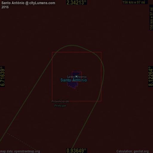
Analysis of Santo António night lights 2016
Square area 10x10 km:
 0%
0%90-99
0%80-89
0%70-79
0%60-69
0%50-59
0.22%40-49
0.65%30-39
0%20-29
0%10-19
0.87%0-9
98.27%Square area 50x50 km:
0%90-99
0%80-89
0%70-79
0%60-69
0%50-59
0.01%40-49
0.03%30-39
0%20-29
0%10-19
0.03%0-9
99.93%Clear (daylight) street map image can be seen on geolist.org.
Map coordinates:
2° 20' 31.7" North, 6° 42' 59" East
1° 38' 21.9" North, 7° 25' 10.2" East
0° 56' 11.4" North, 8° 7' 21.5" East
Some cities around Santo António sort by population:
• Libreville, GA
265.3 km =164.8 mi,  121°
121°
• Bata, GQ
262 km =162.8 mi,  84°
84°
• Malabo, GQ
279.7 km =173.8 mi,  32°
32°
• Port-Gentil, GA
302.8 km =188.2 mi,  149°
149°
• São Tomé
164 km =101.9 mi,  207°
207°
• Luba, GQ
238.2 km =148 mi, 31°
• Ntoum, GA
295 km =183.3 mi, 118°
• Rebola, GQ
279.3 km =173.5 mi, 34°
2410805 (p: 1,156)
Sources (retrieved 2019-11-25):
» Earth at Night: Flat Maps 2012, 2016