Malabo night lights from space
Night Light of Malabo (Bioko Norte) from space (Equatorial Guinea) Src. Average luminocity for 10x10km area is 52.9221% and for 50x50km: 5.3332%.
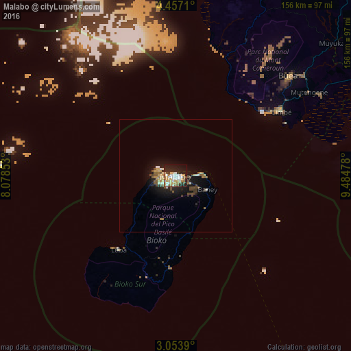
Analysis of Malabo night lights 2016
Square area 10x10 km:
 11.47%
90-99
11.04%80-89
8.44%70-79
10.82%60-69
5.41%50-59
4.33%40-49
2.16%30-39
2.16%20-29
19.7%10-19
21.21%0-9
3.25%Square area 50x50 km:
0.55%90-99
0.76%80-89
0.73%70-79
0.78%60-69
0.7%50-59
0.81%40-49
0.86%30-39
0.31%20-29
1.65%10-19
4.53%0-9
88.32%Clear (daylight) street map image can be seen on geolist.org.
Map coordinates:
4° 27' 25.6" North, 8° 4' 42.7" East
3° 45' 20.8" North, 8° 46' 54" East
3° 3' 14" North, 9° 29' 5.2" East
Some cities around Malabo sort by population:
• Limbe, CM
55.7 km =34.6 mi,  57°
57°
• Tiko, CM
73.3 km =45.5 mi, 61°
• Mutengene, CM
69.9 km =43.4 mi, 57°
• Buea, CM
67.6 km =42 mi,  49°
49°
• Muyuka, CM
91.6 km =56.9 mi, 49°
• Bamusso, CM
79.3 km =49.3 mi,  9°
9°
• Luba
41.7 km =25.9 mi,  217°
217°
• Rebola
7.2 km =4.5 mi,  127°
127°
2309527 (p: 155,963)
Sources (retrieved 2019-11-25):
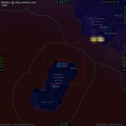
» NASA, Earths city lights 1995
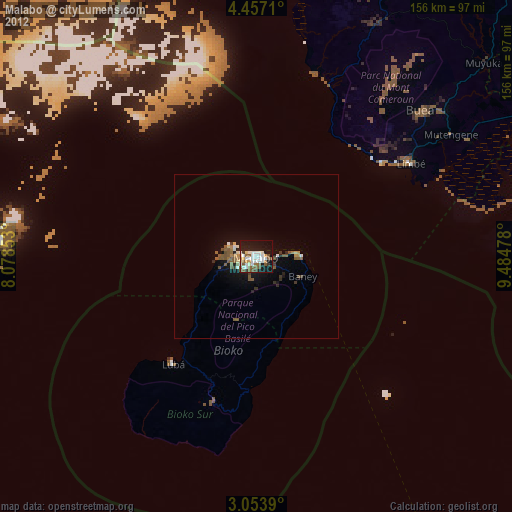
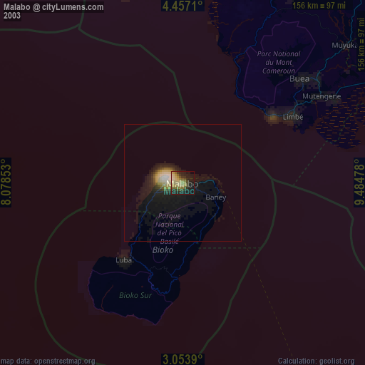
» NASA city lights 2003
» Earth at Night: Flat Maps 2012, 2016