Libreville night lights from space
Night Light of Libreville (Estuaire) from space (Gabon) Src. Average luminocity for 10x10km area is 82.2273% and for 50x50km: 11.0109%.
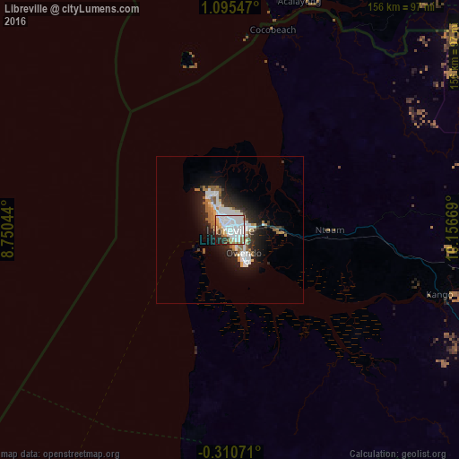
Analysis of Libreville night lights 2016
Square area 10x10 km:
 33.55%
90-99
30.3%80-89
4.55%70-79
5.41%60-69
7.58%50-59
3.68%40-49
0.43%30-39
5.41%20-29
6.93%10-19
2.16%0-9
0%Square area 50x50 km:
2.77%90-99
2.71%80-89
0.6%70-79
0.52%60-69
1.54%50-59
1.6%40-49
0.27%30-39
1.32%20-29
3.41%10-19
6.46%0-9
78.82%Clear (daylight) street map image can be seen on geolist.org.
Map coordinates:
1° 5' 43.7" North, 8° 45' 1.6" East
0° 23' 32.7" North, 9° 27' 12.8" East
0° 18' 38.6" South, 10° 9' 24.1" East
Some cities around Libreville sort by population:
• Bata, GQ
167.3 km =104 mi,  11°
11°
• Port-Gentil
144.4 km =89.7 mi,  211°
211°
• Lambaréné
149.7 km =93 mi,  144°
144°
• Aconibe, GQ
193.2 km =120 mi,  58°
58°
• Ntoum
34.2 km =21.3 mi,  90°
90°
• Evinayong, GQ
168.5 km =104.7 mi,  46°
46°
• Fougamou
218.5 km =135.8 mi, 144°
• Ndjolé
159 km =98.8 mi,  113°
113°
2399697 (p: 578,156)
Sources (retrieved 2019-11-25):
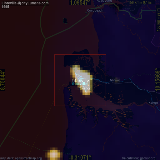
» NASA, Earths city lights 1995
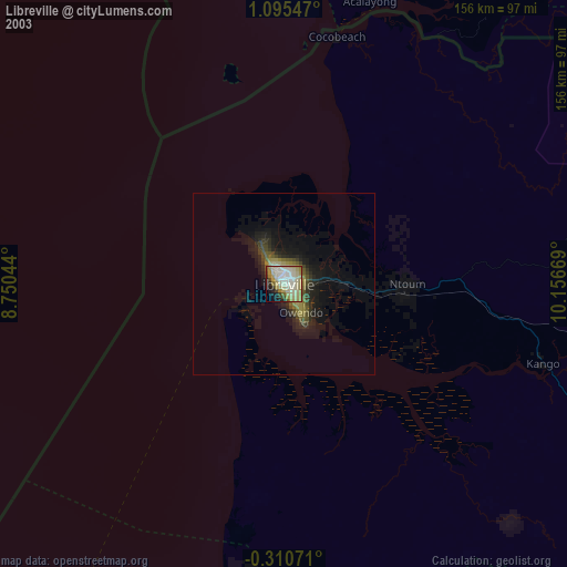
» NASA city lights 2003
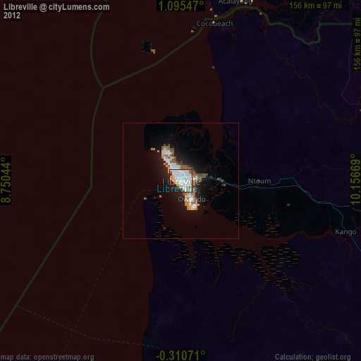
» Earth at Night: Flat Maps 2012, 2016