Ntoum night lights from space
Night Light of Ntoum (Estuaire) from space (Gabon) Src. Average luminocity for 10x10km area is 1.4199% and for 50x50km: 0.8437%.
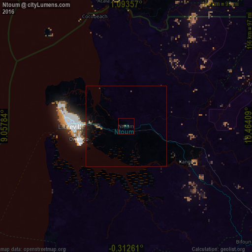
Analysis of Ntoum night lights 2016
Square area 10x10 km:
 0%
0%90-99
0%80-89
0%70-79
0%60-69
0.87%50-59
0.87%40-49
0%30-39
0.87%20-29
0%10-19
0%0-9
97.4%Square area 50x50 km:
0.01%90-99
0.03%80-89
0.03%70-79
0.02%60-69
0.2%50-59
0.1%40-49
0.07%30-39
0.29%20-29
0.3%10-19
1.45%0-9
97.51%Clear (daylight) street map image can be seen on geolist.org.
Map coordinates:
1° 5' 36.9" North, 9° 3' 28.2" East
0° 23' 25.8" North, 9° 45' 39.5" East
0° 18' 45.4" South, 10° 27' 50.7" East
Some cities around Ntoum sort by population:
• Libreville
34.2 km =21.3 mi,  270°
270°
• Bata, GQ
163.8 km =101.8 mi,  0°
0°
• Port-Gentil
164.6 km =102.3 mi,  221°
221°
• Lambaréné
132.5 km =82.3 mi,  156°
156°
• Aconibe, GQ
165.1 km =102.6 mi,  52°
52°
• Añisoc, GQ
198.7 km =123.5 mi,  34°
34°
• Evinayong, GQ
145.8 km =90.6 mi,  37°
37°
• Ndjolé
128.3 km =79.7 mi,  119°
119°
2397169 (p: 8,569)
Sources (retrieved 2019-11-25):
» Earth at Night: Flat Maps 2012, 2016