Luba night lights from space
Night Light of Luba (Bioko Sur) from space (Equatorial Guinea) Src. Average luminocity for 10x10km area is 4.6775% and for 50x50km: 0.4984%.
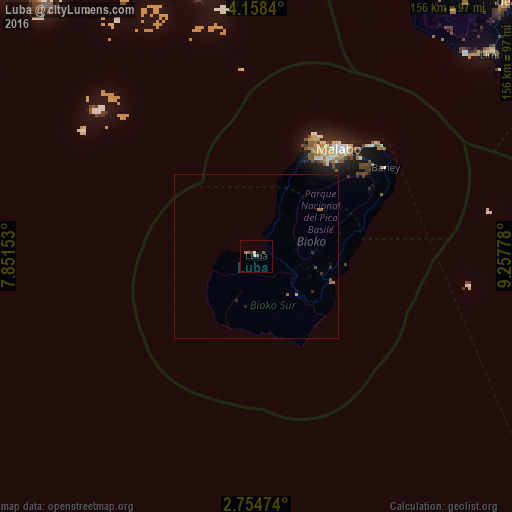
Analysis of Luba night lights 2016
Square area 10x10 km:
 0.65%
0.65%90-99
1.08%80-89
0%70-79
0%60-69
1.73%50-59
1.73%40-49
0%30-39
0.87%20-29
0%10-19
0%0-9
93.94%Square area 50x50 km:
0.03%90-99
0.04%80-89
0%70-79
0.03%60-69
0.18%50-59
0.13%40-49
0.07%30-39
0.15%20-29
0.1%10-19
0.09%0-9
99.19%Clear (daylight) street map image can be seen on geolist.org.
Map coordinates:
4° 9' 30.2" North, 7° 51' 5.5" East
3° 27' 24.6" North, 8° 33' 16.7" East
2° 45' 17.1" North, 9° 15' 28" East
Some cities around Luba sort by population:
• Malabo
41.7 km =25.9 mi,  37°
37°
• Limbe, CM
95.9 km =59.6 mi,  48°
48°
• Tiko, CM
112.7 km =70 mi, 52°
• Mutengene, CM
109.9 km =68.3 mi, 50°
• Buea, CM
108.7 km =67.5 mi, 44°
• Muyuka, CM
132.6 km =82.4 mi, 45°
• Bamusso, CM
117.9 km =73.3 mi,  19°
19°
• Rebola
42.3 km =26.3 mi, 46°
2309528 (p: 8,655)
Sources (retrieved 2019-11-25):
» Earth at Night: Flat Maps 2012, 2016