Berbera night lights from space
Night Light of Berbera (Woqooyi Galbeed) from space (Somalia) Src. Average luminocity for 10x10km area is 7.6736% and for 50x50km: 0.3235%.

Analysis of Berbera night lights 2016
Square area 10x10 km:
 0.62%
0.62%90-99
0.21%80-89
0.83%70-79
2.27%60-69
1.86%50-59
0.83%40-49
2.27%30-39
1.65%20-29
1.03%10-19
0%0-9
88.43%Square area 50x50 km:
0.03%90-99
0.01%80-89
0.03%70-79
0.09%60-69
0.08%50-59
0.03%40-49
0.09%30-39
0.07%20-29
0.04%10-19
0%0-9
99.53%Clear (daylight) street map image can be seen on geolist.org.
Map coordinates:
11° 7' 49" North, 44° 18' 40.3" East
10° 26' 22.5" North, 45° 0' 51.6" East
9° 44' 50.5" North, 45° 43' 2.8" East
Some cities around Berbera sort by population:
• Djibouti, DJ
240.7 km =149.6 mi,  302°
302°
• Aden, YE
260.2 km =161.7 mi,  0°
0°
• Hargeysa
142.7 km =88.7 mi,  226°
226°
• Burao
116.8 km =72.6 mi,  150°
150°
• Ceerigaabo
258 km =160.3 mi,  85°
85°
• Baki
188.4 km =117.1 mi,  251°
251°
• Obock, DJ
253.5 km =157.5 mi,  312°
312°
• Oodweyne
114.7 km =71.3 mi,  177°
177°
64435 (p: 242,344)
Sources (retrieved 2019-11-25):
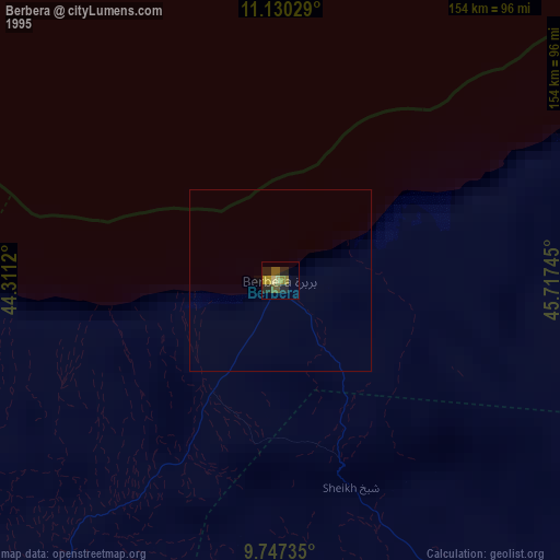
» NASA, Earths city lights 1995
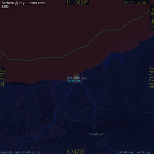
» NASA city lights 2003
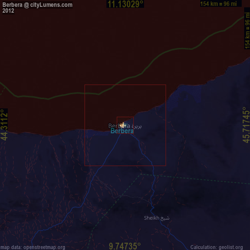
» Earth at Night: Flat Maps 2012, 2016