Hargeysa night lights from space
Night Light of Hargeysa (Woqooyi Galbeed) from space (Somalia) Src. Average luminocity for 10x10km area is 44.9156% and for 50x50km: 2.2578%.
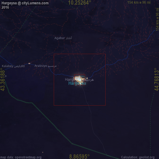
Analysis of Hargeysa night lights 2016
Square area 10x10 km:
 7.79%
7.79%90-99
7.79%80-89
4.33%70-79
10.17%60-69
8.44%50-59
3.46%40-49
5.63%30-39
3.46%20-29
4.98%10-19
40.69%0-9
3.25%Square area 50x50 km:
0.31%90-99
0.31%80-89
0.17%70-79
0.43%60-69
0.35%50-59
0.22%40-49
0.27%30-39
0.17%20-29
0.24%10-19
2.51%0-9
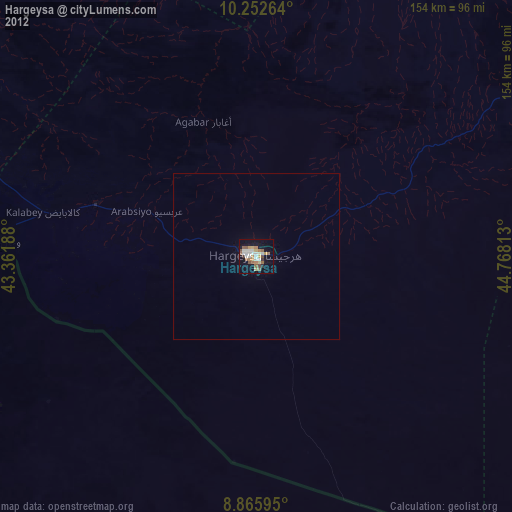
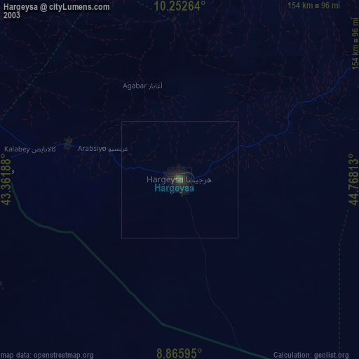
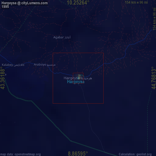
95.03%Clear (daylight) street map image can be seen on geolist.org.
Map coordinates:
10° 15' 9.5" North, 43° 21' 42.8" East
9° 33' 36" North, 44° 3' 54" East
8° 51' 57.4" North, 44° 46' 5.3" East
Some cities around Hargeysa sort by population:
• Dire Dawa, ET
241.1 km =149.8 mi,  270°
270°
• Berbera
142.7 km =88.7 mi,  46°
46°
• Burao
161.1 km =100.1 mi,  91°
91°
• Harar, ET
215.3 km =133.8 mi,  262°
262°
• Jijiga, ET
140.7 km =87.4 mi, 260°
• 'Ali Sabieh, DJ
231 km =143.5 mi,  320°
320°
• Baki
83.1 km =51.6 mi,  296°
296°
• Oodweyne
110.8 km =68.8 mi,  98°
98°
57289 (p: 477,876)
Sources (retrieved 2019-11-25):
» NASA, Earths city lights 1995
» NASA city lights 2003
» Earth at Night: Flat Maps 2012, 2016