Oodweyne night lights from space
Night Light of Oodweyne (Togdheer) from space (Somalia) Src. Average luminocity for 10x10km area is 0% and for 50x50km: 0%.
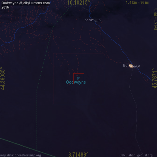
Analysis of Oodweyne night lights 2016
Square area 10x10 km:
 0%
0%90-99
0%80-89
0%70-79
0%60-69
0%50-59
0%40-49
0%30-39
0%20-29
0%10-19
0%0-9
100%Square area 50x50 km:
0%90-99
0%80-89
0%70-79
0%60-69
0%50-59
0%40-49
0%30-39
0%20-29
0%10-19
0%0-9
100%Clear (daylight) street map image can be seen on geolist.org.
Map coordinates:
10° 6' 7.7" North, 44° 21' 39.1" East
9° 24' 33.1" North, 45° 3' 50.3" East
8° 42' 53.5" North, 45° 46' 1.6" East
Some cities around Oodweyne sort by population:
• Djibouti, DJ
320.5 km =199.1 mi,  319°
319°
• Hargeysa
110.8 km =68.8 mi,  278°
278°
• Berbera
114.7 km =71.3 mi,  357°
357°
• Burao
53 km =32.9 mi,  76°
76°
• Laascaanood
272.6 km =169.4 mi,  112°
112°
• Jijiga, ET
248.5 km =154.4 mi,  268°
268°
• Ceerigaabo
285.7 km =177.5 mi,  61°
61°
• Baki
191.7 km =119.1 mi,  286°
286°
53372 (p: 5,491)
Sources (retrieved 2019-11-25):
» Earth at Night: Flat Maps 2012, 2016