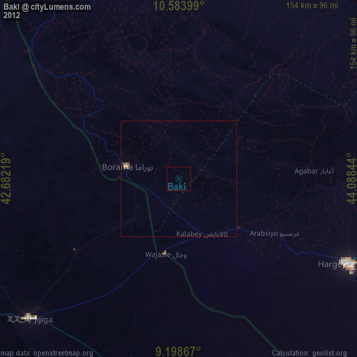
Baki night lights from space
Night Light of Baki (Awdal) from space (Somalia) Src. Average luminocity for 10x10km area is 0% and for 50x50km: 0.1906%.
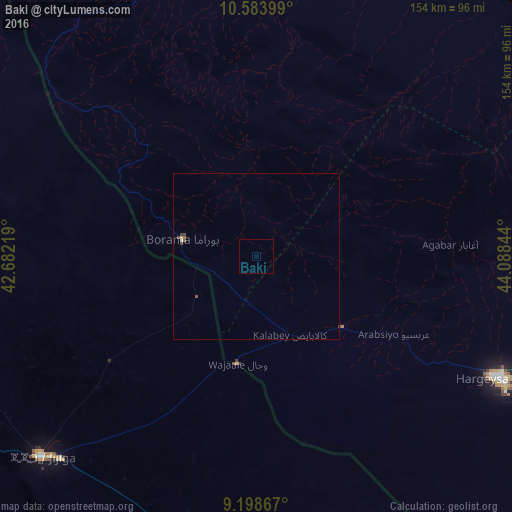
Analysis of Baki night lights 2016
Square area 10x10 km:
 0%
0%90-99
0%80-89
0%70-79
0%60-69
0%50-59
0%40-49
0%30-39
0%20-29
0%10-19
0%0-9
100%Square area 50x50 km:
0%90-99
0.03%80-89
0.01%70-79
0.03%60-69
0.01%50-59
0.06%40-49
0.11%30-39
0.08%20-29
0%10-19
0%0-9
99.68%Clear (daylight) street map image can be seen on geolist.org.
Map coordinates:
10° 35' 2.4" North, 42° 40' 55.9" East
9° 53' 31.4" North, 43° 23' 7.1" East
9° 11' 55.2" North, 44° 5' 18.4" East
Some cities around Baki sort by population:
• Djibouti, DJ
190.5 km =118.4 mi,  352°
352°
• Hargeysa
83.1 km =51.6 mi,  116°
116°
• Dire Dawa, ET
169.8 km =105.5 mi,  258°
258°
• Berbera
188.4 km =117.1 mi,  71°
71°
• Harar, ET
153.1 km =95.1 mi,  245°
245°
• Jijiga, ET
88 km =54.7 mi,  226°
226°
• 'Ali Sabieh, DJ
158.6 km =98.5 mi,  332°
332°
• Dikhil, DJ
174.7 km =108.6 mi,  320°
320°
8045596 (p: 20,000)
Sources (retrieved 2019-11-25):
» Earth at Night: Flat Maps 2012, 2016