Burao night lights from space
Night Light of Burao (Togdheer) from space (Somalia) Src. Average luminocity for 10x10km area is 8.2035% and for 50x50km: 0.3292%.
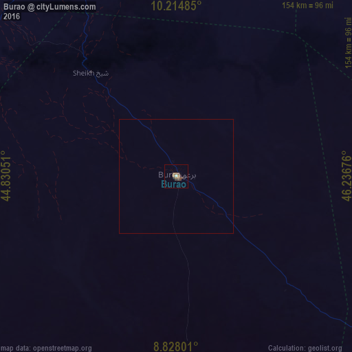

Analysis of Burao night lights 2016
Square area 10x10 km:
 0.43%
0.43%90-99
0.43%80-89
0%70-79
1.08%60-69
3.25%50-59
1.08%40-49
3.68%30-39
2.6%20-29
0.43%10-19
0.65%0-9
86.36%Square area 50x50 km:
0.02%90-99
0.02%80-89
0%70-79
0.04%60-69
0.13%50-59
0.04%40-49
0.14%30-39
0.1%20-29
0.02%10-19
0.03%0-9
99.46%Clear (daylight) street map image can be seen on geolist.org.
Map coordinates:
10° 12' 53.5" North, 44° 49' 49.8" East
9° 31' 19.7" North, 45° 32' 1.1" East
8° 49' 40.8" North, 46° 14' 12.3" East
Some cities around Burao sort by population:
• Hargeysa
161.1 km =100.1 mi,  271°
271°
• Berbera
116.8 km =72.6 mi,  330°
330°
• Laascaanood
231.8 km =144 mi,  120°
120°
• Jijiga, ET
300.4 km =186.7 mi, 266°
• Ceerigaabo
234.8 km =145.9 mi,  58°
58°
• Baki
239 km =148.5 mi,  279°
279°
• Las Khorey
343.5 km =213.4 mi, 57°
• Oodweyne
53 km =32.9 mi,  256°
256°
63795 (p: 99,270)
Sources (retrieved 2019-11-25):
» NASA, Earths city lights 1995
» NASA city lights 2003
» Earth at Night: Flat Maps 2012, 2016