Aden night lights from space
Night Light of Aden from space (Yemen) Src. Average luminocity for 10x10km area is 34.7727% and for 50x50km: 7.9455%.
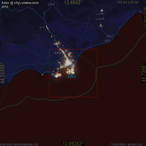
Analysis of Aden night lights 2016
Square area 10x10 km:
 5.63%
5.63%90-99
7.36%80-89
5.84%70-79
6.28%60-69
1.73%50-59
0.87%40-49
5.19%30-39
6.49%20-29
5.63%10-19
25.11%0-9
29.87%Square area 50x50 km:
0.81%90-99
0.87%80-89
0.88%70-79
1.39%60-69
1.01%50-59
0.6%40-49
1.82%30-39
1.94%20-29
2.43%10-19
6.93%0-9
81.33%Clear (daylight) street map image can be seen on geolist.org.
Map coordinates:
13° 27' 51.1" North, 44° 20' 0.8" East
12° 46' 46" North, 45° 2' 12" East
12° 5' 34.2" North, 45° 44' 23.3" East
Some cities around Aden sort by population:
• Ta‘izz
141.4 km =87.9 mi,  308°
308°
• Ibb
161.1 km =100.1 mi,  325°
325°
• Dhī as Sufāl
154 km =95.7 mi,  319°
319°
• Al Bayda
146.1 km =90.8 mi,  23°
23°
• Laḩij
35.1 km =21.8 mi, 331°
• Zinjibār
53.8 km =33.4 mi,  43°
43°
• Dhalie
107.1 km =66.5 mi,  342°
342°
• Jawf al Maqbābah
146 km =90.7 mi, 36°
415189 (p: 550,602)
Sources (retrieved 2019-11-25):
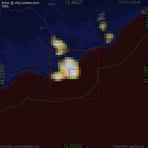
» NASA, Earths city lights 1995
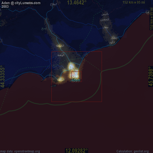
» NASA city lights 2003
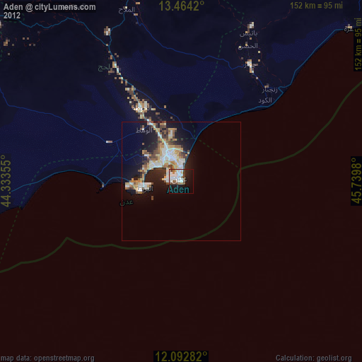
» Earth at Night: Flat Maps 2012, 2016